


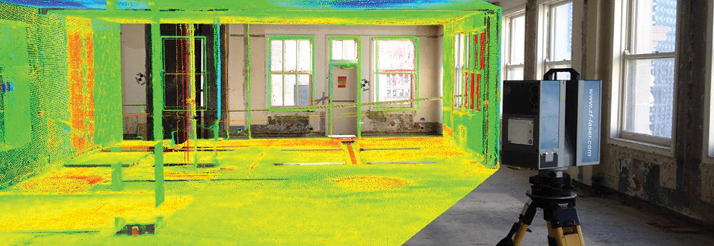


GIS (Geographic Information Systems) has been around for some time now, and most communities use it every day for various procedures. If you’re new to GIS, it is a computer system cable of capturing, storing, analyzing, manipulating, and updating spatial data as vector data (Points, Line and Polygons). It’s often used to identify relationships between vector data, scheduling upkeep to certain vector data, and making future for expansion, just to name a few. DLZ also uses GIS to enhance plans, proposals, surveying, and other practices.
DLZ has a wide-open field for assisting local communities with “Maintenance of Assets”. So, what am I talking about?
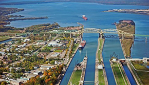
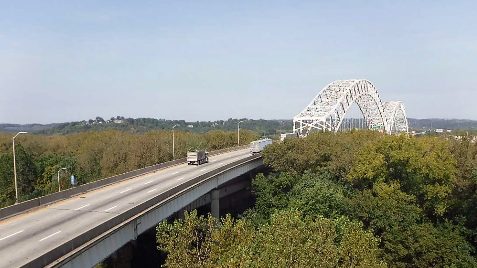
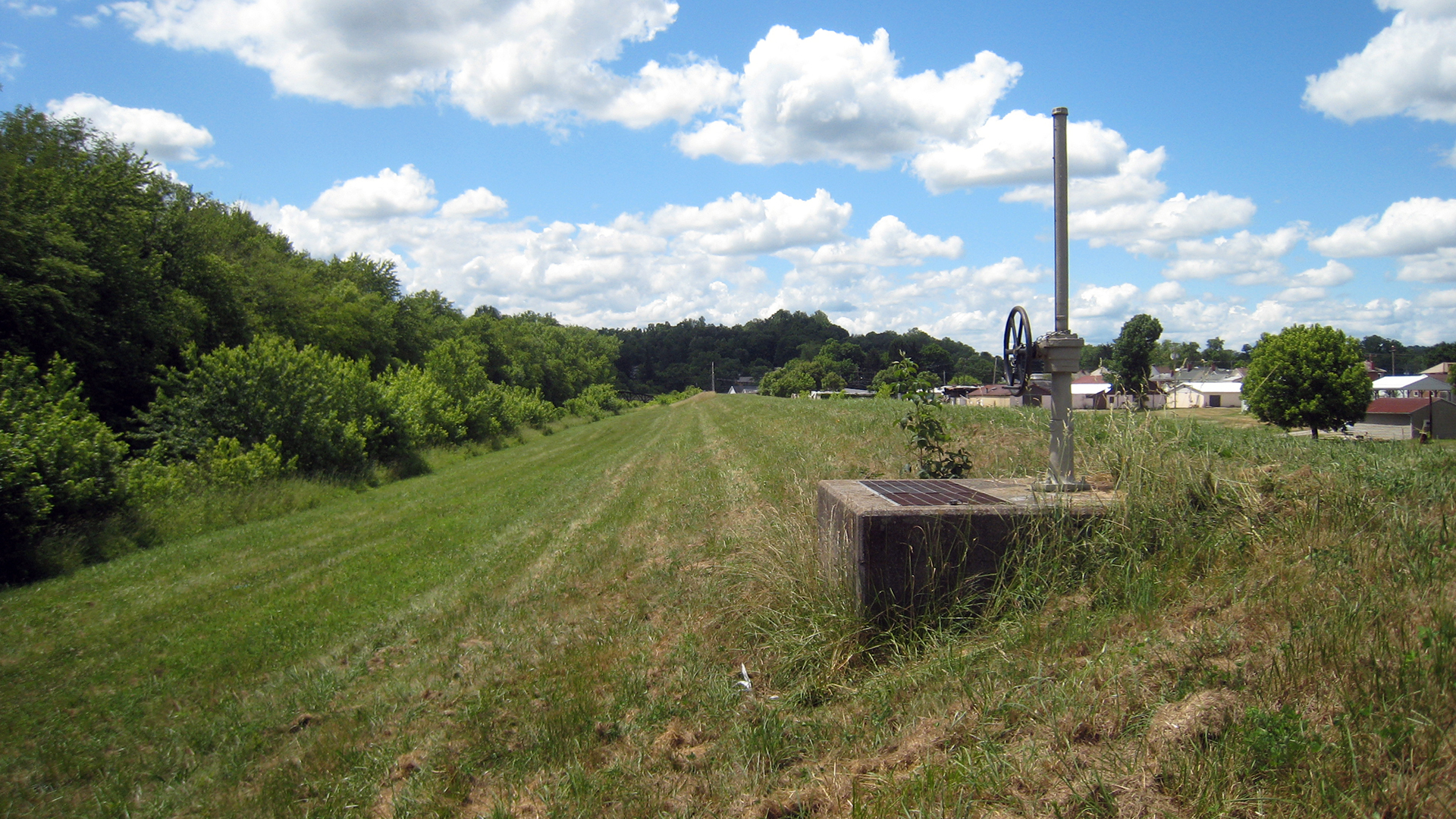
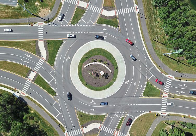
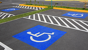
“Maintenance of Assets” can be many different things. In this instance, we’ll focus on Inventorying of Community Data. Most local communities, either by State mandate or local Governments, must inventory and keep up to date information on assets such as signs, signals, etc.
These municipalities must project useful life for all roads, bridges, signage, signals, safety features, and other assets under their jurisdiction and report assets and asset depreciation.
The communities often use this inventory to determine if an asset needs replaced (e.g., sign or signal needs replacing). DLZ has the people and infrastructure to gather data, create a database, and map the data for potential community clients to assist these communities.Scheduling a kickoff meeting with the client very early is a good idea. Together, outline a detailed proposal. To get a better understanding, we may ask the following:
- What data should be gathered (e.g., signs, road quality, etc.)?
- What is the boundary area of the data to be acquired?
- Are photos required?
- What additional data is necessary for the database?
- What coordinate system and delivery format is desired?
These are just a few questions, but aids in determining the first stage of the data gathering. Also, you may want to start gathering data within a “Sample Site” location.
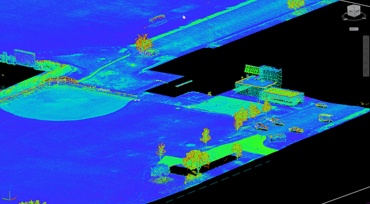
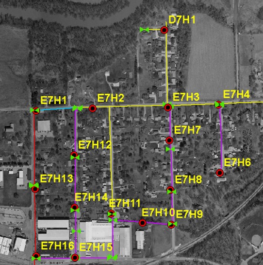
Visually presenting a GIS map with a client’s “Sample Site” data can show them what data they will get, how the database information is presented, and help them update anything at the data-gathering stage. Additional database information such as extra columns for further details within the database, scans of surveyed manholes and photo hyperlinks for visual information are just a few items that a client may want to have for future use.
Likewise, during the first stage of data gathering, you may want to determine with the client if there is to be a numbering system setup for any points (e.g., Manholes, Signs, etc.) and if a grid system for aiding in quickly locating the point is necessary. A numbering system will assist with present and future item identification. If a numbering system is initially structured when gathering field data, the field personnel can set an automated numbering system in the database. This can then be renumbered or enhanced with additional characters within the database during processing.
Once a GIS map with the database is created, reviewed both “in house” and by the client and accepted by the client, DLZ can deliver the data to them in the format of their choice.
But the new working relationship doesn’t end there! The client may have additional questions on how to use the database and keep it up.
Furthermore, they may also want help with a new project. You never know when a potential GIS opportunity will come around.