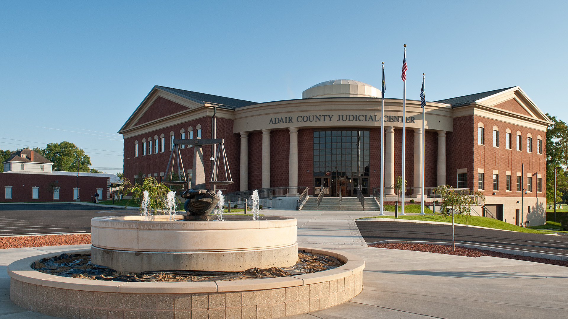


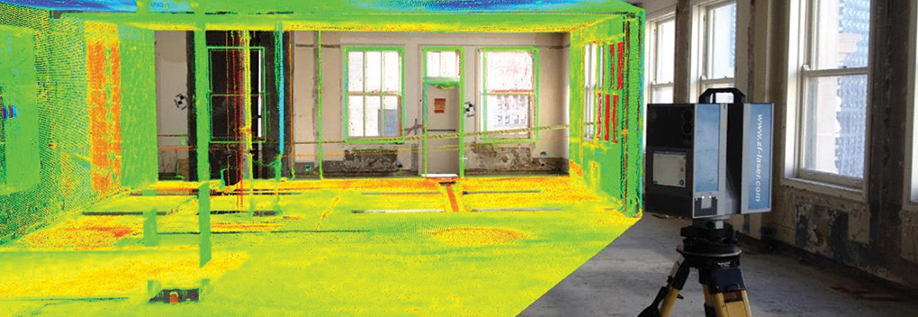


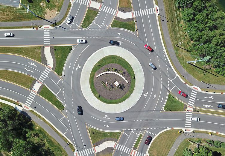


Unmanned Aircraft Systems
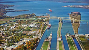
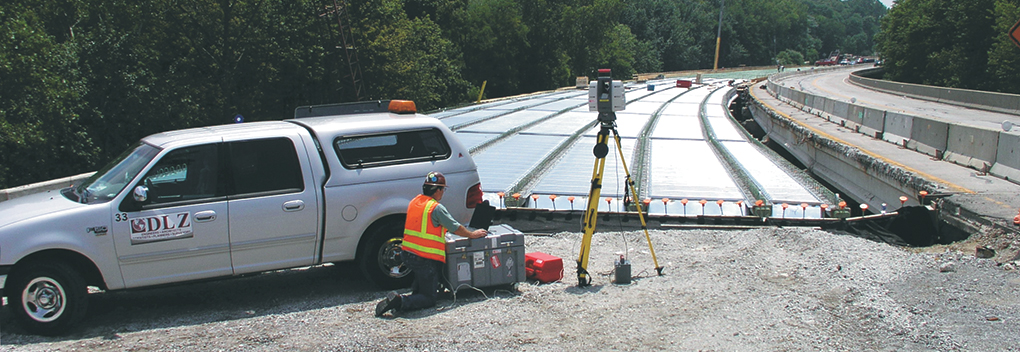
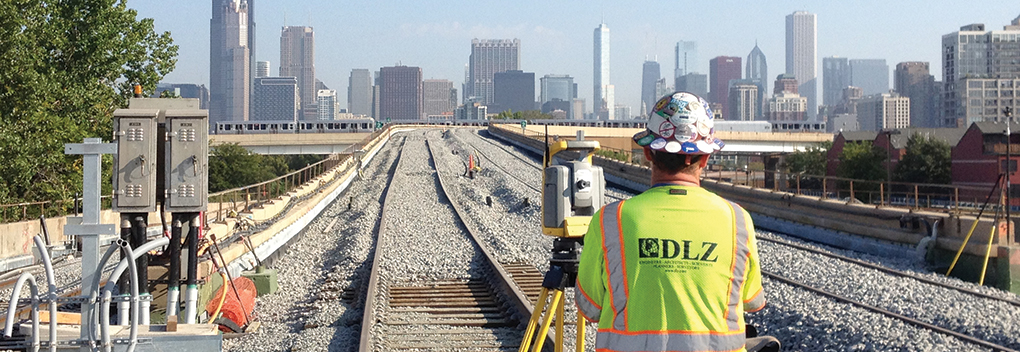
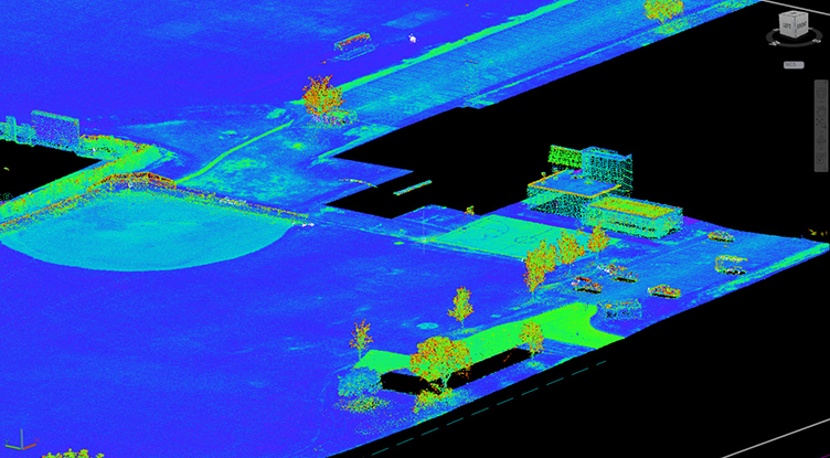
Unmanned Aircraft Systems (UAS) provide the most comprehensive view of field conditions as possible. Additionally, DLZ owns the latest tools and expertise to accurately capture real world conditions and bring them to your desktop. The use of UAS technology allows DLZ to acquire data without the need for field personnel to get physically near surveyed objects. Moreover, this promotes safety and efficiency in the field, especially in conditions that would be harmful to our employees.
Furthermore, with several FAA-certified licensed Remote Pilots, DLZ understands Federal regulations, airspace restrictions, and procedures. We have invested in the latest Unmanned Aerial Vehicle UAV technology including both copter and fixed wing options. This allows for multiple surveying and inspection applications at various precision.
In addition, our UAS services include various domains, such as:
Surveying and Mapping
- Topographic surface
- Volumetric quantities
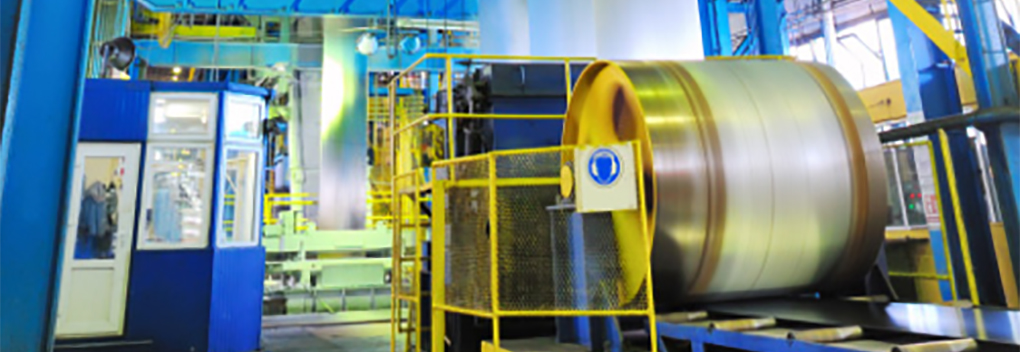
- Industrial
- Mining
- Power
- Asset management
- Architectural renderings
- Disaster relief
- Wildlife planning
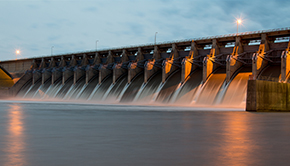
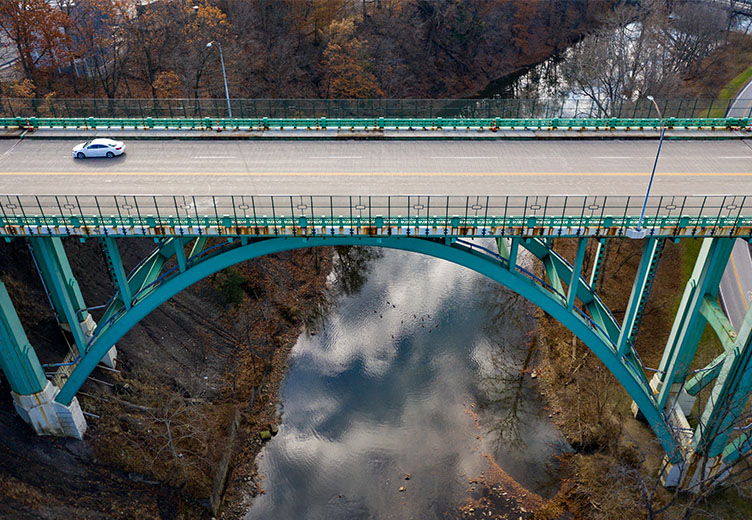
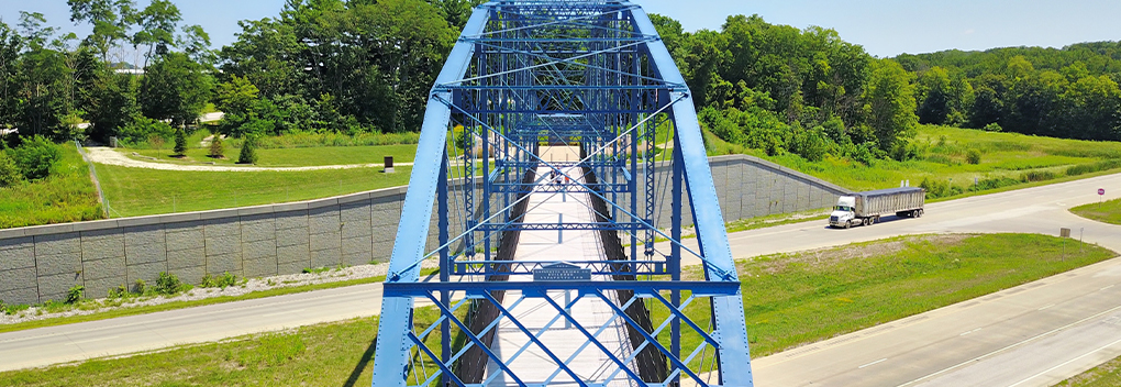
Inspection
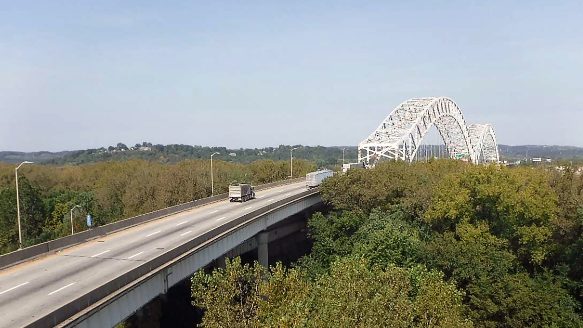
- Bridges
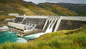
- Dams
- Buildings
- Wind turbines
- Cellular towers
- Building heat loss (thermal)
- Bridge deck delimitation (thermal)
- Insurance claim adjustments
- Traffic count monitoring
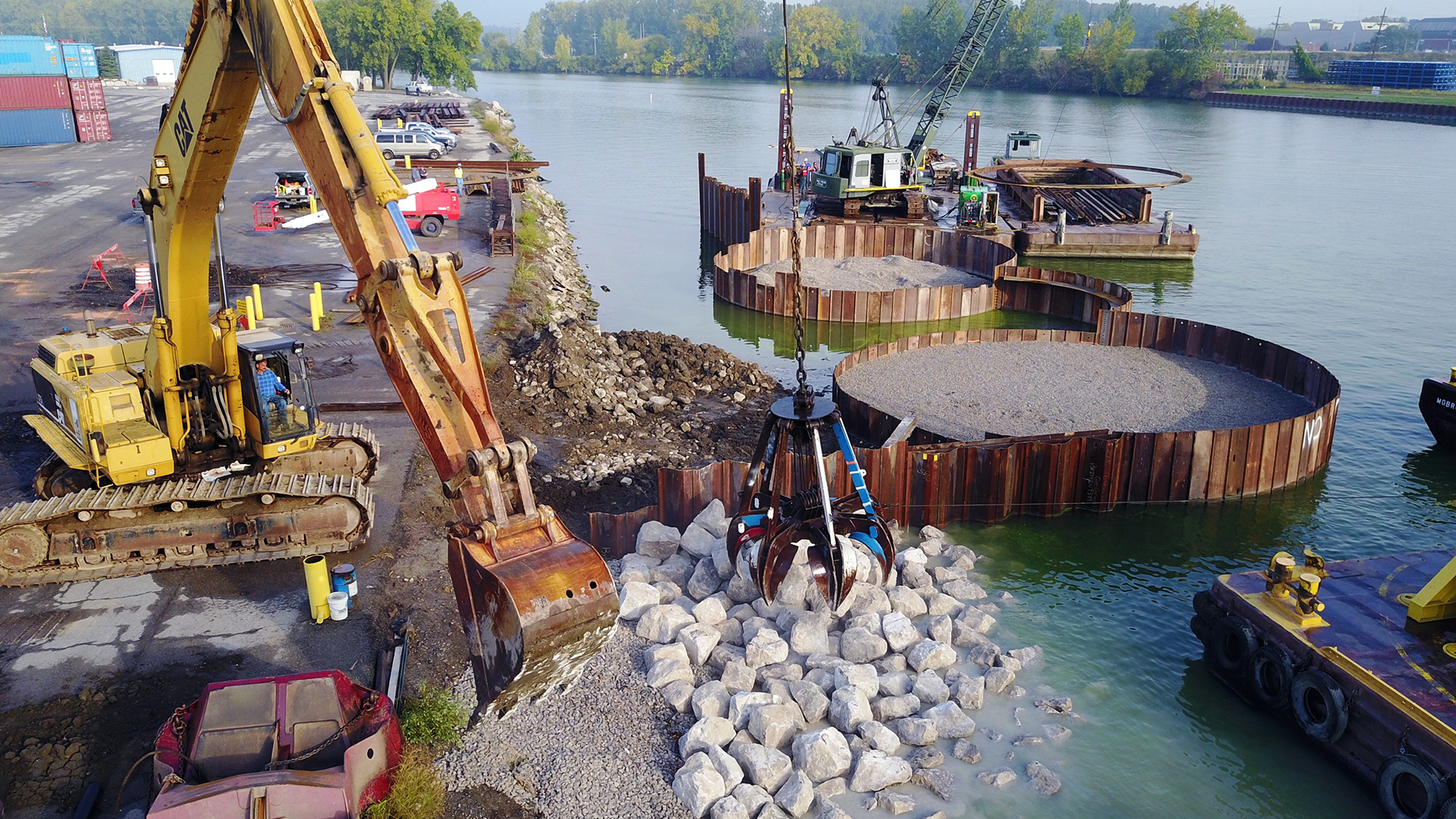
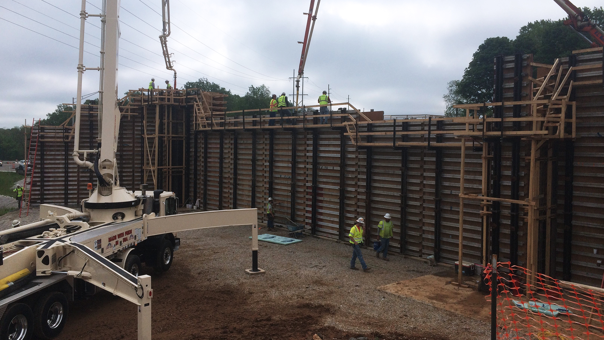
Construction and As-built
- Thermal monitoring
- Progress monitoring
- As-builts
- Stockpile/material quantity tracking
- During/after construction
- Fly-by video
DLZ’s mastery of UAS technology and its application across various sectors make us your go-to partner for getting precise and efficient data. Overall, we are committed to safety and providing the most comprehensive and reliable insights into your projects. Let us be your trusted partner for all your Unmanned Aircraft Systems needs. Let’s connect! We’d love to hear about your projects.