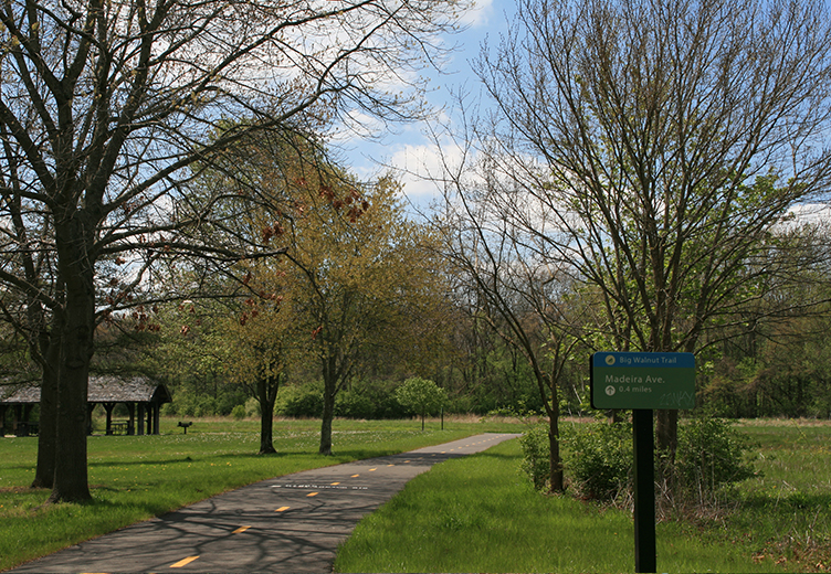


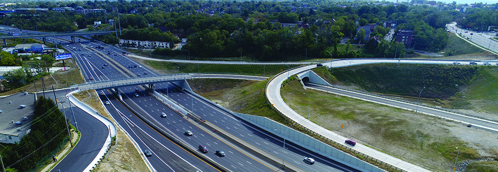

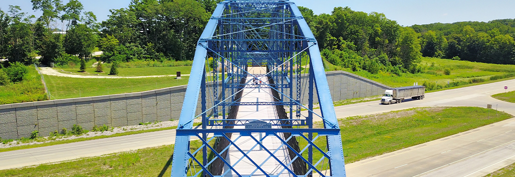


Big Walnut Trail for City of Columbus, Department of Recreation and Park
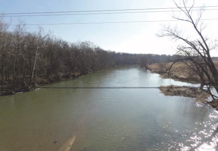
DLZ performed an engineering and environmental study along with construction documents for the City of Columbus, Department of Recreation, and Park’s Big Walnut Trail Project. The Big Walnut Trail is a multi-segment trail that travels along Big Walnut Creek through Columbus and surrounding communities. Big Walnut Creek is one of the more scenic and high-water quality streams in the Columbus area. The recreational trail is an important improvement to the City of Columbus’ park system.
The original study area for the new trail was an approximately 0.7-mile long greenway trail along a wooded corridor that runs east of Big Walnut Creek from Williams Road to Three Creeks Park. Ecological studies determined that several wetlands existed within this potential trail corridor. Therefore, the City elected to study a second trail alignment along another portion of Big Walnut Creek from Elk Run Park to Winchester Pike on the City’s southeast side.
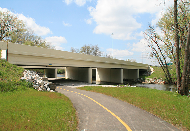
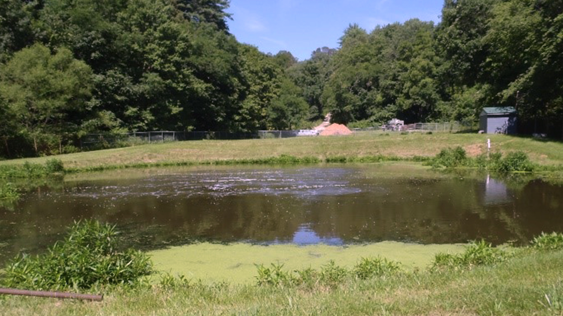
The second study area consisted of an approximately 0.8 mile-long, 10-foot wide asphalt trail along a wooded corridor. The trail starts at Elk Run Park and crosses beneath the US 33 eastbound and westbound overpass bridges and stops at Winchester Pike. Portions of the trail are located within the FEMA floodway of Big Walnut Creek and the majority of the trail is within the FEMA 100-year floodplain. This created multiple challenges since the City of Columbus does not allow stormwater control facilities within the 100-year floodplain. DLZ performed a study identifying several offsite locations within the Big Walnut Creek Watershed to be evaluated to provide off-site stormwater quantity and quality controls to satisfy the both City of Columbus and Ohio EPA requirements. Additionally, the previously mentioned overpasses for US 33 over Big Walnut Creek were in the process of being designed to be widened, creating additional challenges and coordination with the Ohio Department of Transportation.
An engineering and environmental study was performed for both the parcel containing the proposed off-site stormwater control facility and the parcels for the proposed trail. This study included field survey and mapping, a hydraulic study, completion of an OHPO Project Summary Form, Wetland Delineation, Threatened and Endangered Species Evaluation, a Level 1 Ecological Survey, and a preliminary route study and report. The purpose of the study was to evaluate environmental and cultural resources, as well as hydraulic impacts of the proposed trail, and to estimate preliminary construction costs.
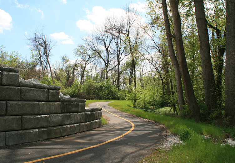
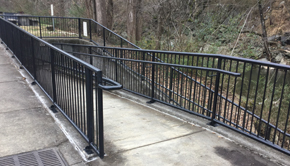
Upon completion of the study, DLZ prepared full construction documents and permitting packages for the Big Walnut Trail. The final alignment consisted of a 10’ wide, 4,262’ long multi-use trail located almost completely within the 100-year floodplain of Big Walnut Creek. The design team worked through the challenges identified and formed creative solutions. The first major challenge of passing under US 33’s bridges over Big Walnut Creek was worked out with the use of a segmented retaining wall to allow the trail to cut through the bridge embankments. The second major challenge of being within the floodplain of Big Walnut Creek was solved by balancing earthwork along the trail alignment. The trail was designed so that no new fill was created within the floodplain. The third major challenge was preserving as many of the corridor’s mature trees as possible, including an 84” sycamore in close proximity to the trail. This required several revisions to the trail alignment and vertical profile to reduce impacts to the critical root zones of significant trees. Multiple wetlands were also identified along the trail alignment. The trail was designed to provide no substantial impacts to any of the existing wetlands which were identified.
Once the construction documents were finalized, permitting also provided an extra challenge to the design team. DLZ prepared permit packages and received permits from the City of Columbus for Final Site Compliance and CC plans for the trail and off-site stormwater detention and water quality facility. In addition, DLZ was able to obtain an ODOT Encroachment Permit, U.S. Army Corps of Engineers Waterway Permit Package – Section 404 Permit, Ohio EPA NPDES Permit, and a Franklin County General Plan Permit & NFIP Permit. As part of the NFIP permit, DLZ also prepared a FEMA Letter of Map Revision (LOMR).