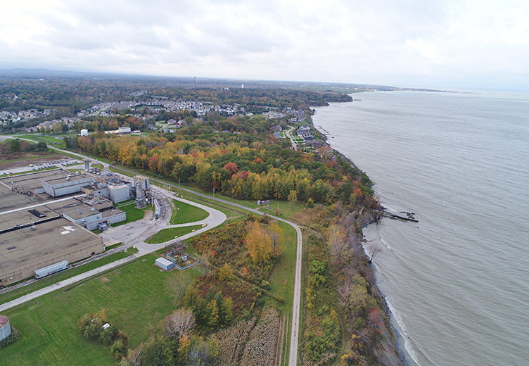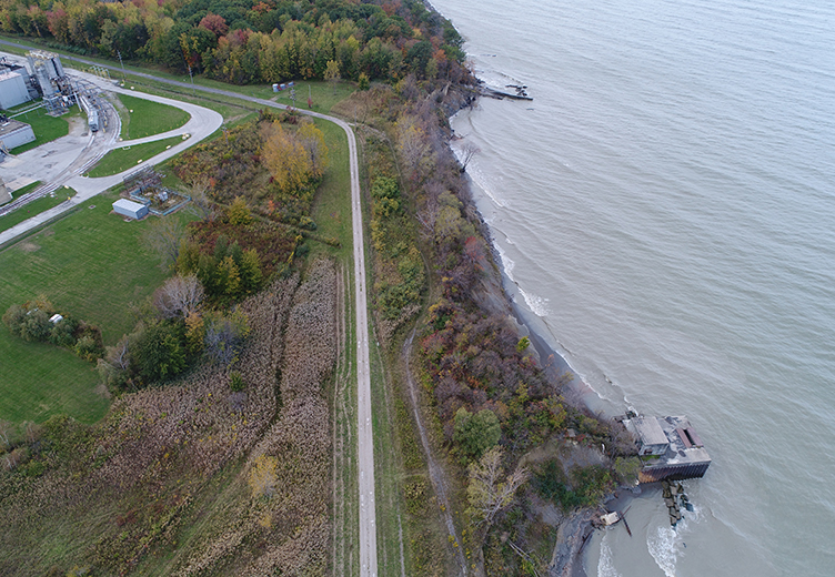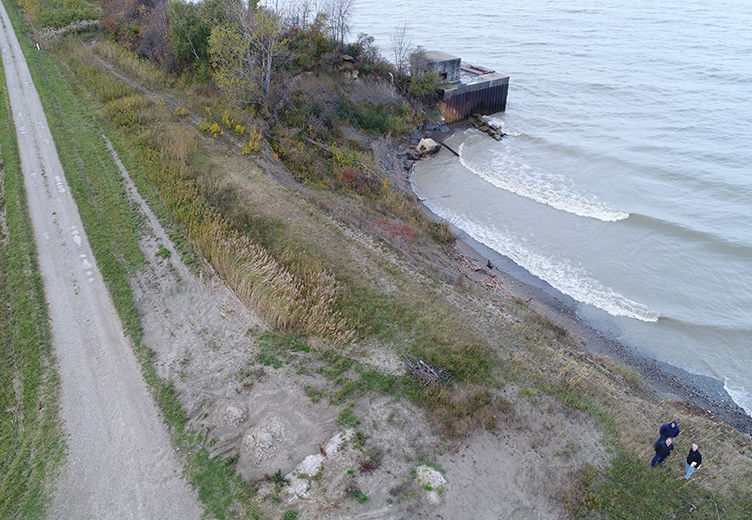


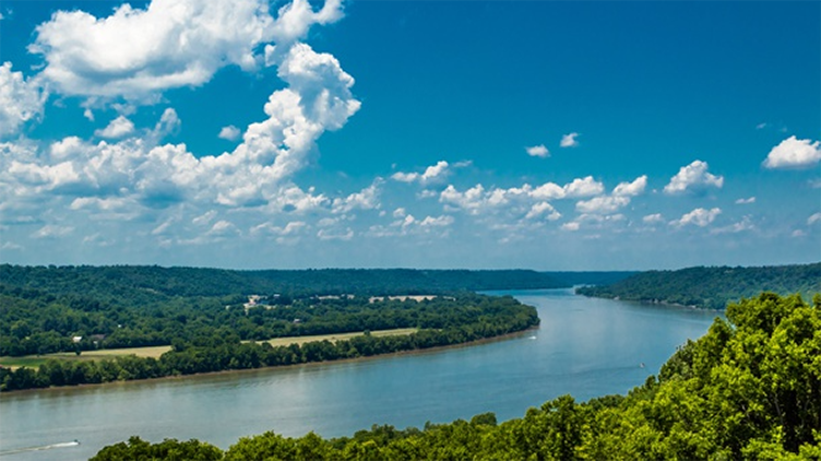
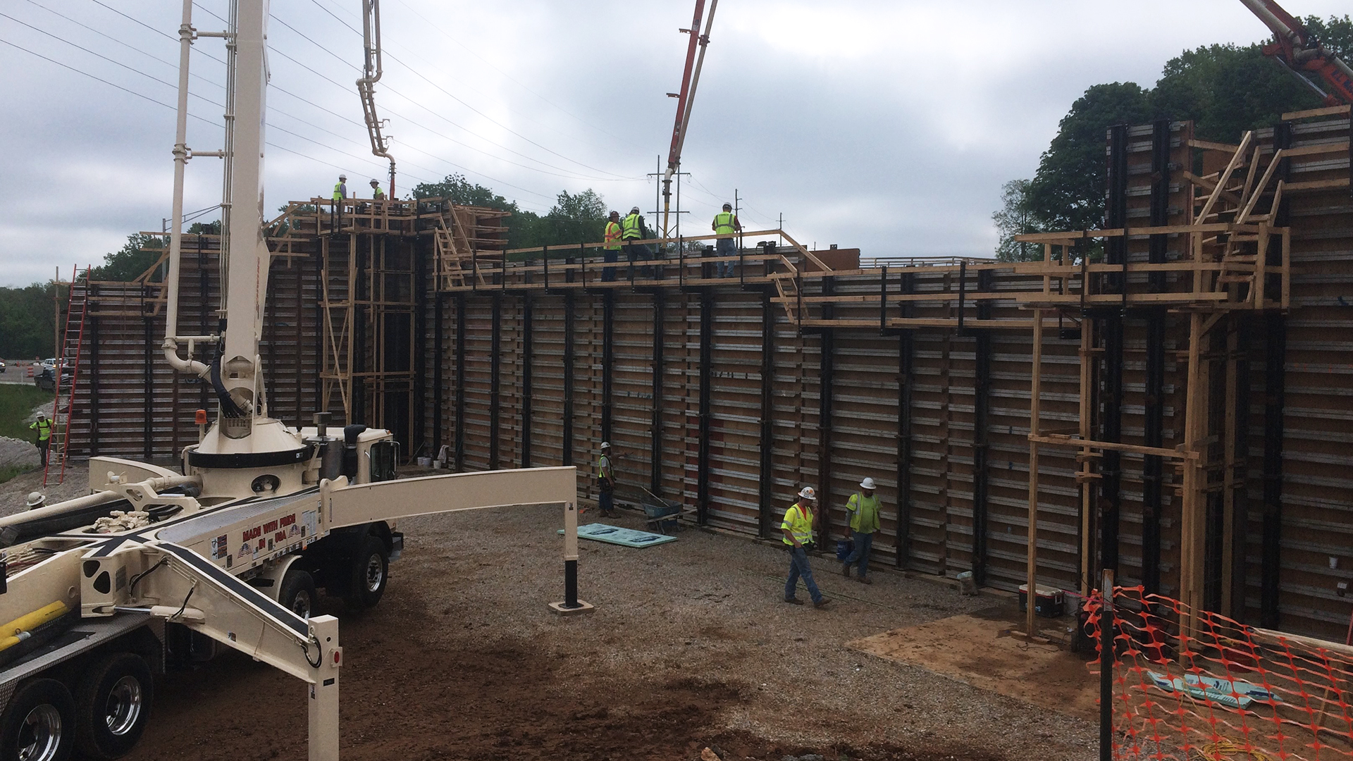


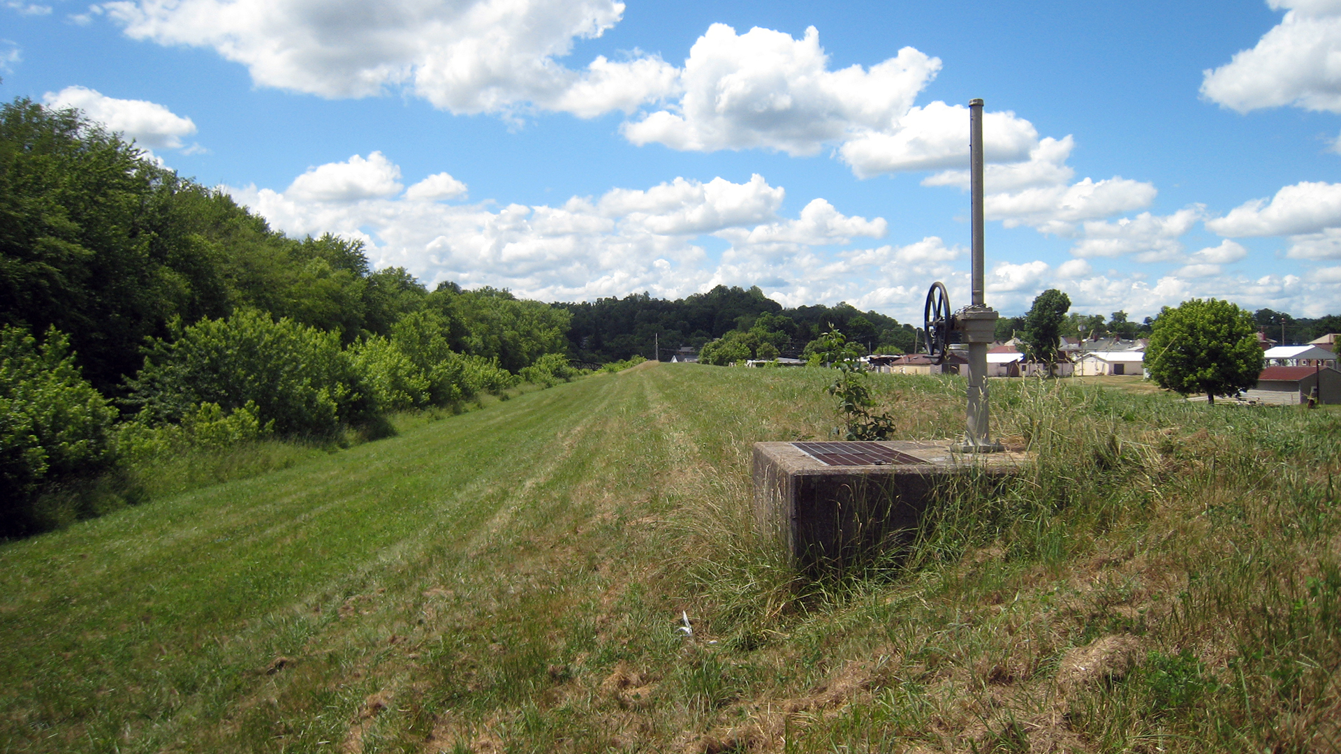


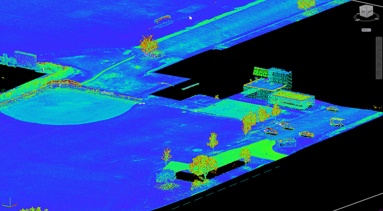


Lake Erie Survey of Natural Shorelines
As a subcontractor to Biohabitats, DLZ is providing a survey of the natural shorelines for the Buffalo District through an AE services IDIQ contract through 2021. The scope of work encompasses studies, technical investigations, comprehensive planning, program management, conceptual designs, and other related services. As a subconsultant to Biohabitats, our team is providing survey and geotechnical services in support of this contract.
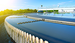
DLZ completed a project in Lake County where it used a drone to better define the shoreline of Lake Erie. As the fourth-largest lake out of the five Great Lakes in North America, Lake Erie is the southernmost, shallowest, and smallest by volume of the Great Lakes. In fact, Lake Erie has the shortest average water residence time. According to Wikepedia.com, at its deepest point Lake Erie is 210 feet (64 metres) deep.
DLZ researched and delineated the natural shoreline where the water usually stands when free from disturbing causes (i.e., storm, drought). The site research included visual inspection for hydrologic, vegetative and geomorphic indicators as well as an analysis of the earliest known charts, maps and photographs of the natural shorelines.
Work included toxic substances and areas of concern, invasive species, nearshore health and nonpoint source pollution, habitat and wildlife protection and restoration, communication and partnerships, NEPA documentation, conducting environmental impact analysis, cultural resource/archeological investigations and impact analysis, watershed studies and watershed management plans, and wetland/stream design for mitigation. Work was performed within the Great Lakes and Ohio River Division boundaries.