


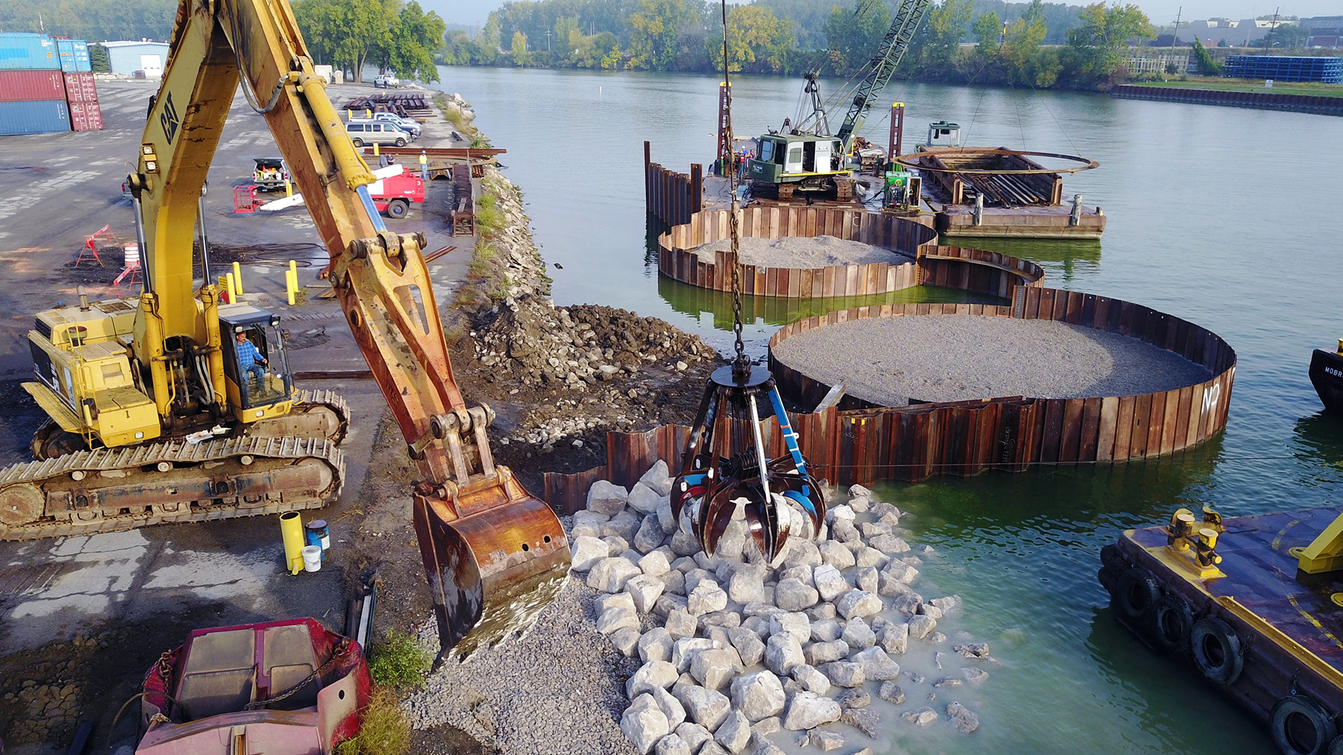

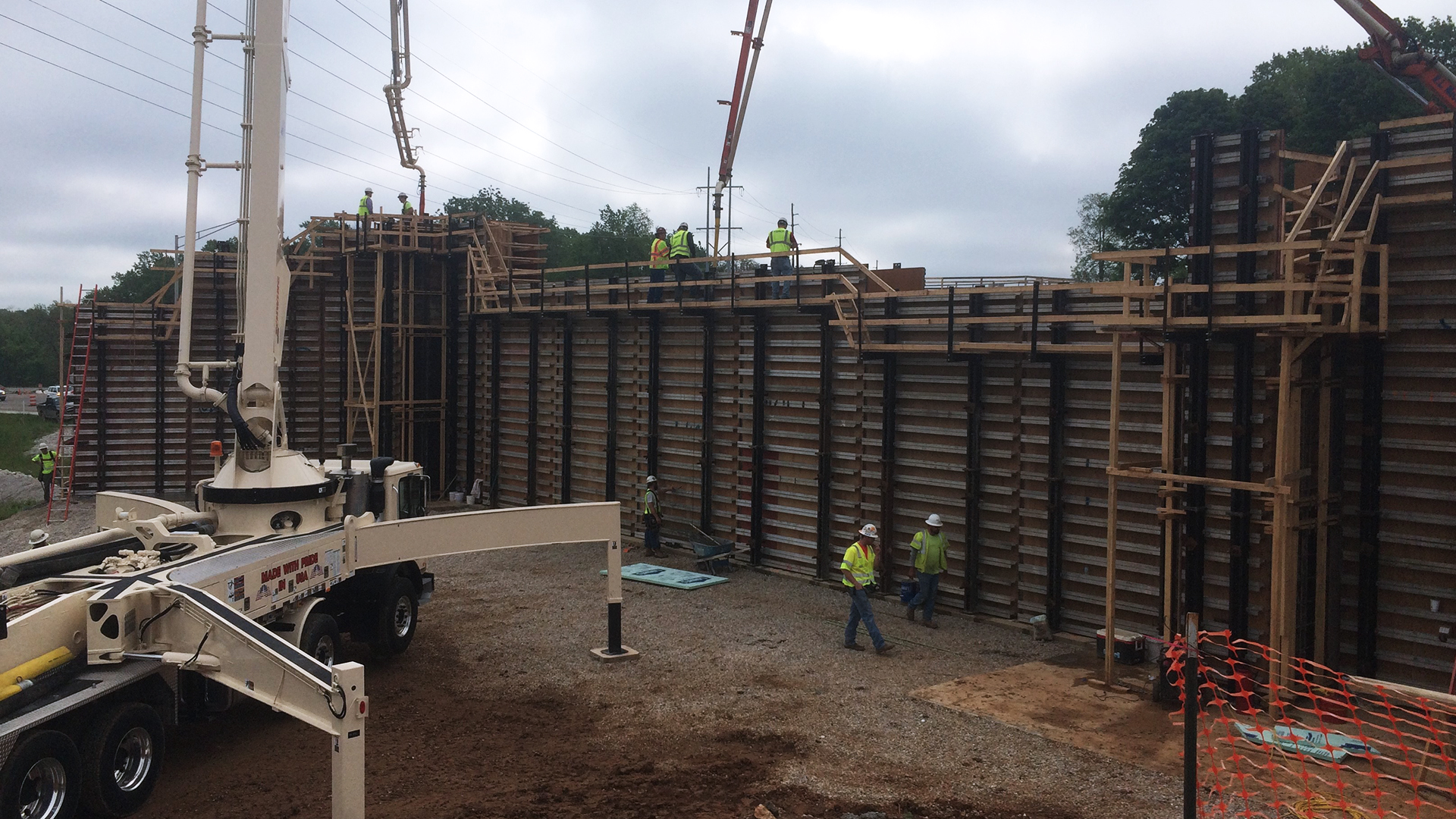


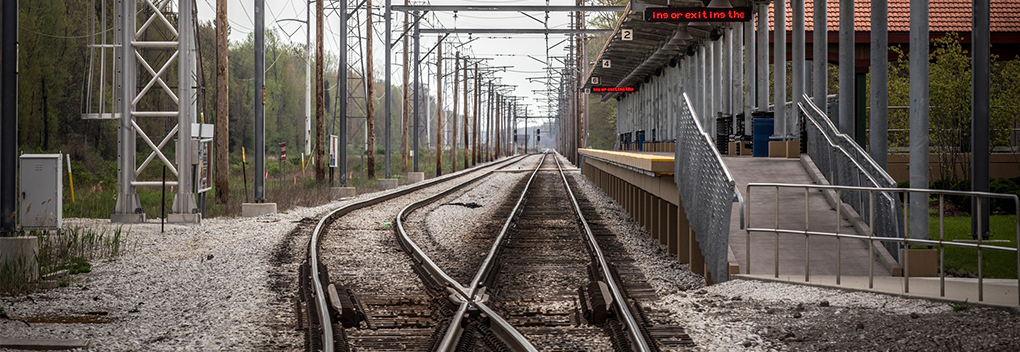


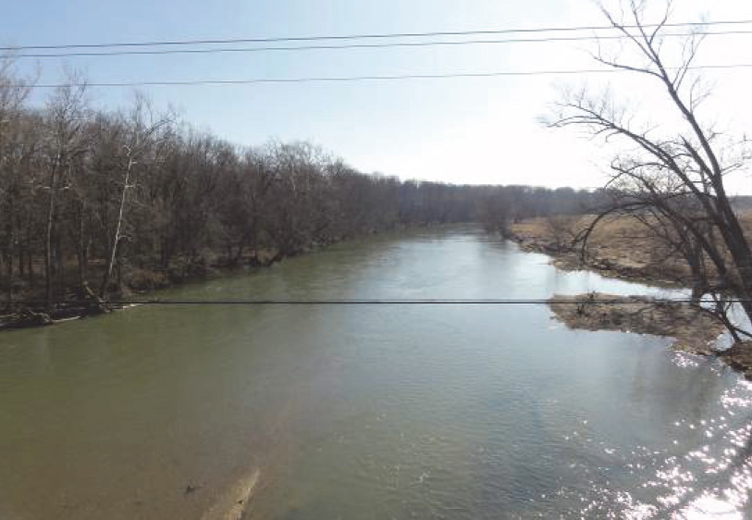


Hydrographic Surveying For Bodies Of Water
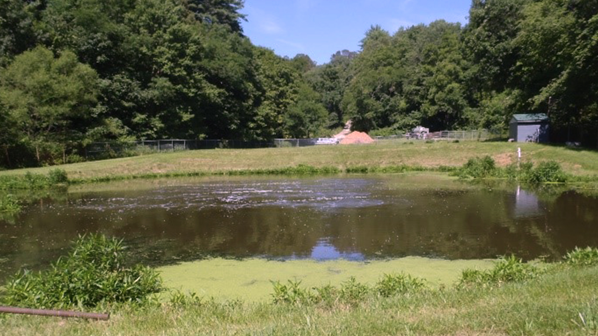
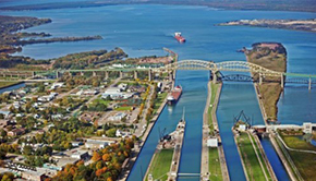
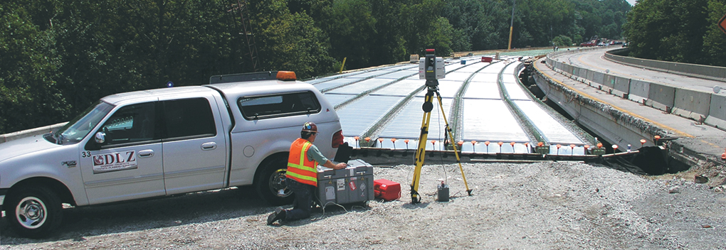
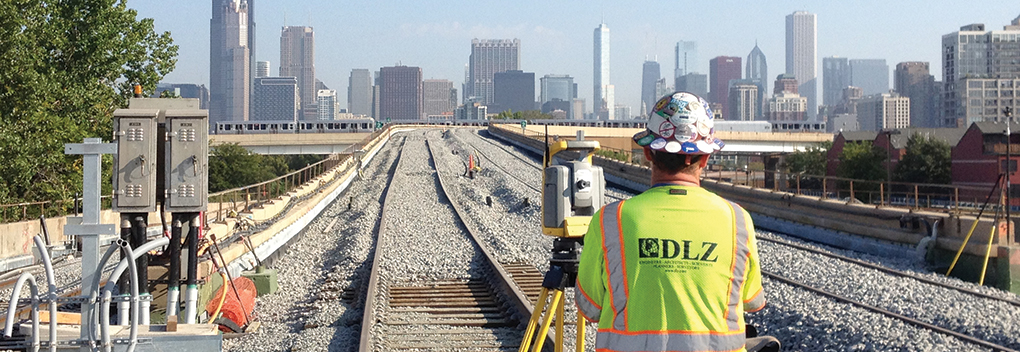
DLZ performs hydrographic surveying of lakes, rivers, slips, and lagoons. Hydrographic surveying is used for dredging, beach nourishment and protection, navigation, operations and maintenance, and also flood control projects. Utilizing echosounder technology alongside RTK and DGPS survey equipment, we can collect underwater topographic information of the water body and accurately position the data to depict the planimetric features. Further, this data can be integrated with shoreline topographic survey or 3-D laser scan data and surrounding land surveys to create overbank surveys.
Our services include, but are not limited to:
- Digital terrain models
- Determination of minimum water depth requirements
- Industrial slip surveys
- Overbank surveys
- Payment quantity surveys
- Both pre- and post-dredging surveys
- Project condition surveys
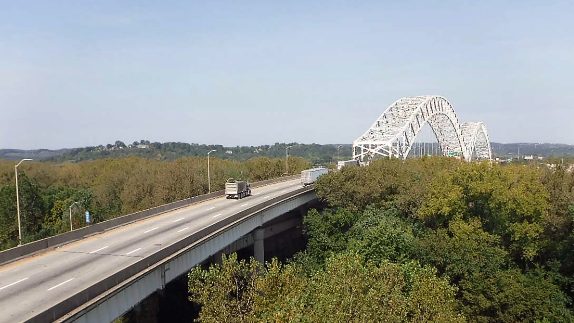
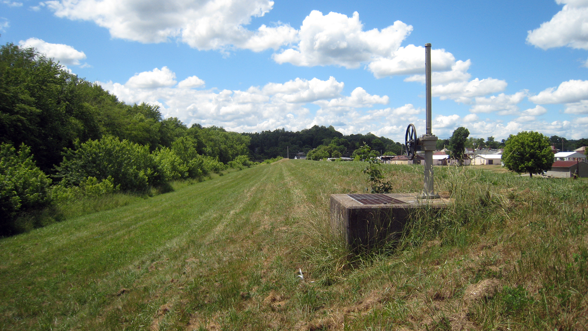
- Revetment, dike, and also levee surveys
- River and canal cross-sections
- Sediment monitoring
- Site control and calibration for high accuracy dredgepack set-up
- Sub-bottom profiling
- Underwater obstruction surveys
- Volume calculations
DLZ can also utilize single or multibeam echosounders, magnetometers sub-bottom profiles, underwater scanners, and RTK GPS in conjunction with HYPACK d acquisition software. This technology can produce an array of deliverables depending on our clients’ needs. Our professional, licensed, and certified staff specialize in accurate and precise data gathering and quick turnaround. DLZ also is a corporate member of The Hydrographic Society of America (THSOA).
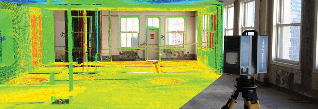
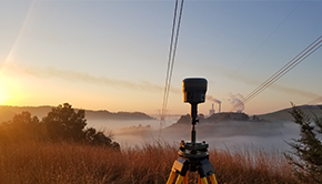
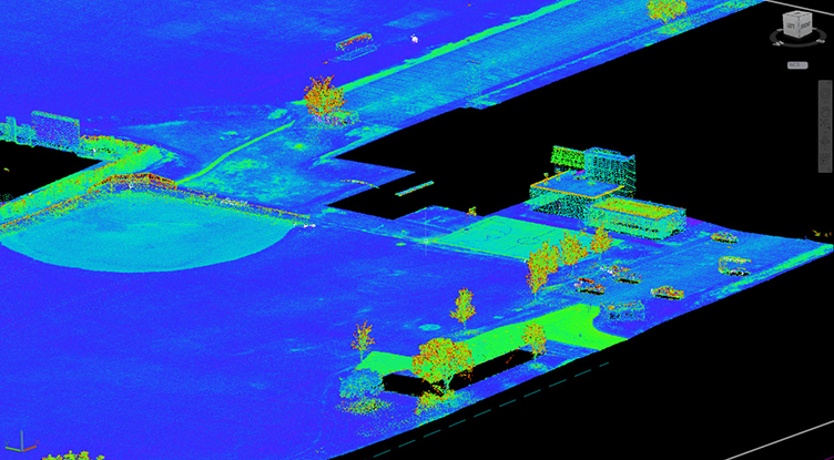
DLZ also provides many other advanced surveying services including high definition laser scanning, precision alignment, and unmanned aerial survey.
We would love to work with you. Please contact us at hydrographicsurveying@dlz.com. Likewise, if you have any questions about how we do the work we do, check out our Services page.
Also, check out this video, and learn about DLZ remote control hydrographic surveying Z-Boat on Youtube.