Overview
Camp Grayling, a U.S. National Guard training facility, encompasses a total land area of approximately 147,000 acres and stretches across portions of Crawford, Kalkaska, and Otsego Counties in northern Michigan.
Process
DLZ was contracted by the Michigan Department of Military & Veterans Affairs to develop and implement a habitat and biological assessment plan and to perform annual surface water sampling at Camp Grayling. Camp Grayling is located within three major watersheds, the Muskegon, Au Sable, and Manistee. Both the Au Sable and Manistee Rivers are considered blue-ribbon trout streams in Michigan.
The initial focus of this effort has been to perform assessments in waterways within the Manistee River watershed. A Standard Operating Procedure (SOP) was developed for the Camp Grayling assessments.
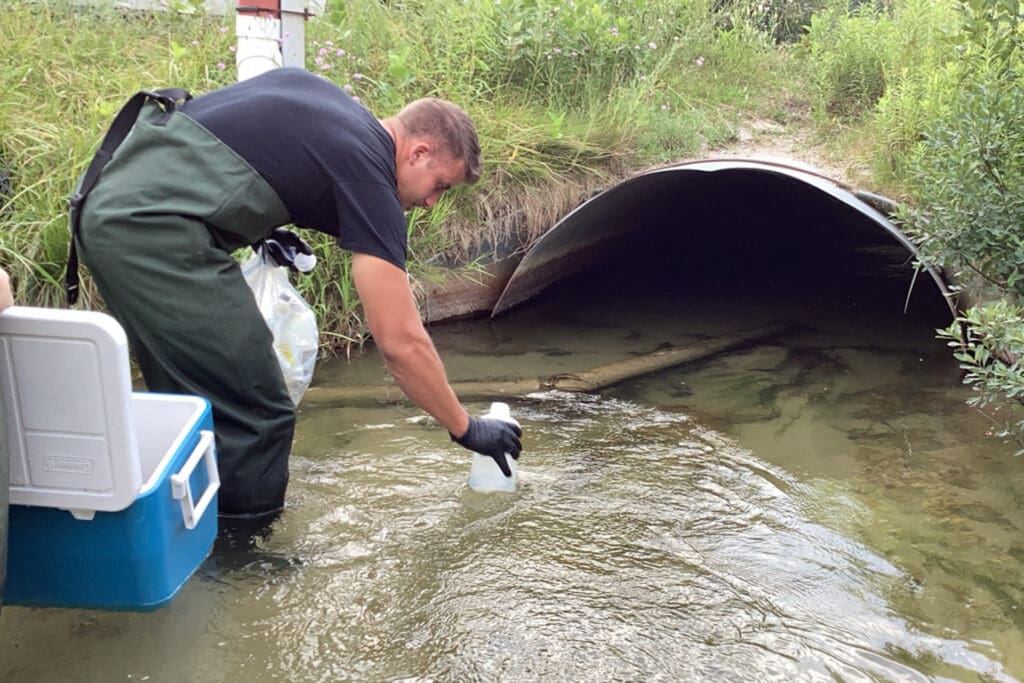
At each sample location, water quality was measured for pH, temperature, specific conductance (SPC), dissolved oxygen (DO), and turbidity using a portable YSI Multiparameter Water Quality Sonde and recorded on water quality data forms using Survey 123 and ArcGIS Field Maps. Surface water samples were analyzed for a suite of nutrient and chemical parameters dependent on the location of the site including select metals, pesticides, PCBs, and petroleum products where applicable. To date, a total of 13 sample dates at 16 different sites have been obtained from 2021 to 2025.
Water quality results were compared to Water Quality Standards, regulatory criteria limits (CL), and goals for surface water, groundwater, and drinking water. These analyses are critical for identifying specific surface water human and aquatic health concerns that could have an impact on resources on the base including habitat for fish and wildlife and military training, or to resources outside the boundaries of the base.
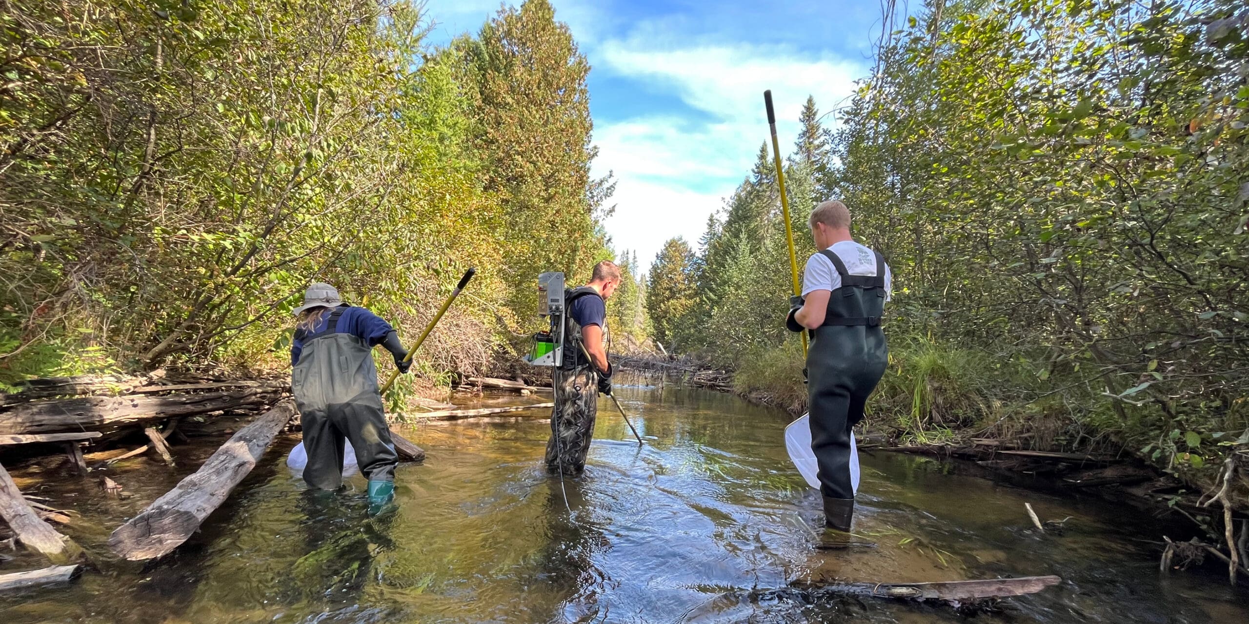
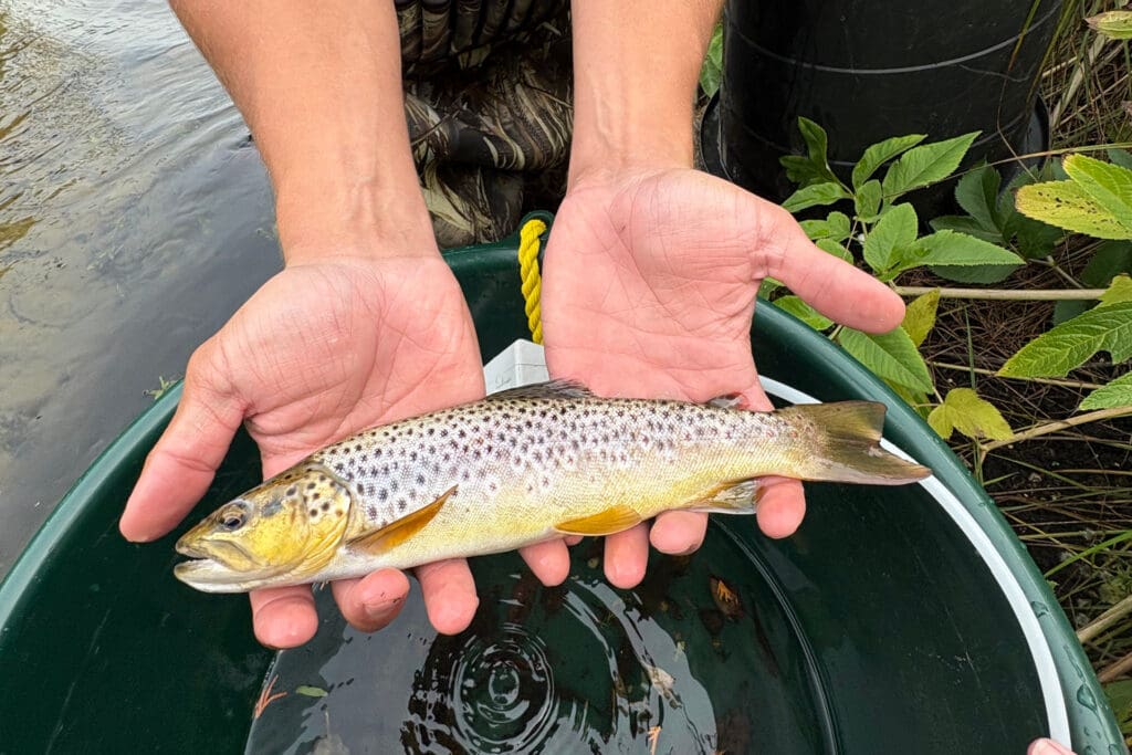
Qualitative evaluations of the macroinvertebrate, fish, and mussel communities were assessed. Assessing these communities provides insight into the biological integrity of a stream and assists Camp Grayling staff with resource management. Fish and macroinvertebrate sampling methods and data analysis followed the MEGLE guidelines for qualitative biological and habitat surveys and the Procedure 51 Metric Scoring. Mussel surveys were performed to generally follow the sampling guidelines in Michigan Freshwater Mussel Survey Protocols and Relocation Procedures. Habitat assessments followed the guidelines described in Procedure 51 and Habitat Assessment Field Data Sheets were completed.
An annual Water Quality, Biological and Habitat Assessment Report was prepared after each assessment for the year. The reports summarize the water quality, physical and biological conditions of those streams assessed at CG using statistical data analysis, CL comparisons, and assessment procedures provided in Procedure 51.
Results
Camp Grayling intends to perform the water quality, habitat, and biological assessments on a regular rotation of about every 5 years at each waterbody. The assessments provide excellent baseline data for waterbodies within Camp Grayling which can be used in future monitoring of surface water. The assessments also help staff meet the water quality goals associated with the Water Resources Management Program, establish management goals for fish and wildlife populations at Camp Grayling, and help meet Natural Resource Program Objectives as identified in the MDMVA Integrated Natural Resource Management Plan (2000).