Land Surveying & Mapping
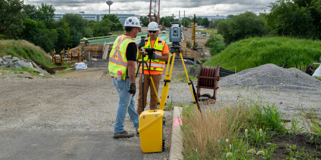
Every civil engineering and construction project depends on accurate, reliable survey data from the start. Precise boundary determination, topographic mapping, and right-of-way definition give your design and construction teams the foundation they need to move forward with confidence — and the defensible documentation required by agencies and regulators.
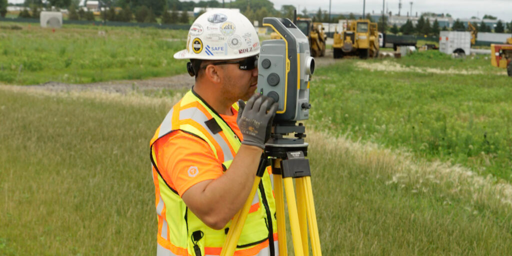
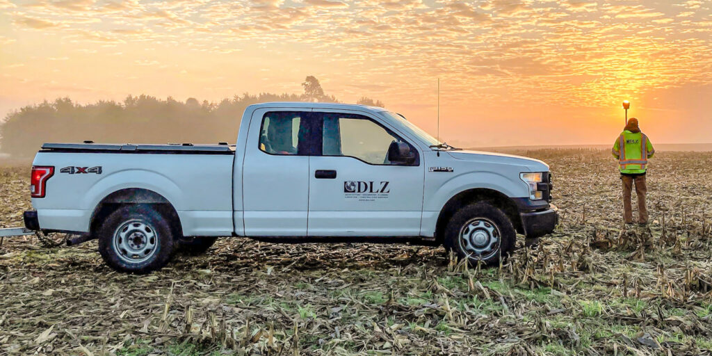
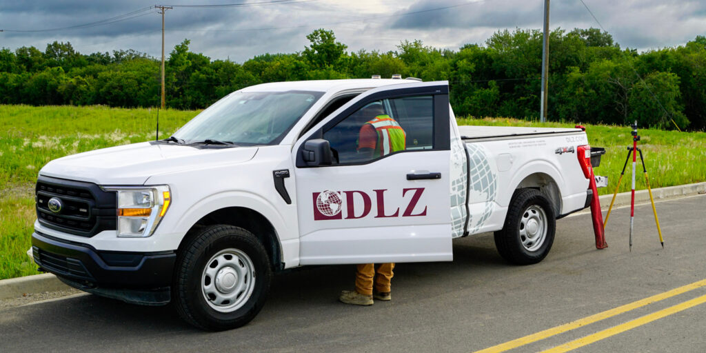
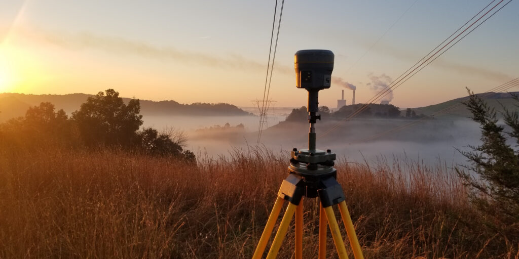
DLZ’s land surveying teams serve transportation, municipal, site development, and utility projects across the country, performing all work in accordance with applicable state standards and project requirements. We combine modern survey technologies with proven field procedures, and coordinate closely between field and office staff to maintain data consistency from collection through final deliverables — producing survey data tailored to the specific needs of designers, agencies, and contractors.