Environmental

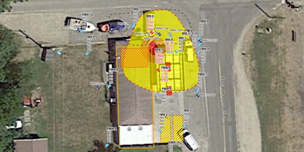
Communities affected by contamination deserve more than a snapshot. GIS brings sampling results, survey records, and field observations into a single spatial framework, creating a centralized repository where contamination can be mapped, tracked over time, and analyzed for trends. The result is a clearer picture of what’s happening in the field and stronger support for the decisions that follow.

DLZ applies GIS throughout the environmental project lifecycle, from initial field monitoring and ecological surveys through spatial analysis and remediation planning. Custom applications and standardized data collection tools ensure that information is captured consistently, integrated efficiently, and accessible to the teams and regulators who need it. We help make every phase of environmental work more organized, defensible, and effective.

Featured Capabilities

Environmental PFAS

Field Monitoring

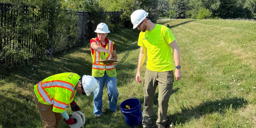
Tracking contamination over time requires consistent data collection and a platform built to visualize change. We develop custom GIS applications that field teams use to record sampling results in real time, building time-enabled datasets that reveal how contamination levels shift across locations and over the course of a project or remediation effort.

Ecological permitting

Ecological Surveys

Standardized data collection is essential to ecological survey work that holds up under regulatory scrutiny. We design and deploy custom Survey123 forms that guide field staff through consistent data entry, ensuring that survey results are comparable across time and location — and that the trends needed for compliance documentation and environmental review are clearly supported by the data.

GIS Spatial Analysis

Spatial Analysis

Understanding where contamination is concentrated, where it’s migrating, and where additional investigation is needed requires spatial analysis tools that go beyond basic mapping. We perform hotspot analysis, wetland conflict reviews, and trend visualization that help project teams identify priority areas, plan remediation efforts, and communicate findings clearly to clients and regulatory agencies.

Related Work

Portage DPW Masterplan

Portage

, Michigan

GIS Mapping for Monongalia County (WV) Broadband Study Strategic Plan

Morgantown

, West Virginia

GIS and Water Distribution System Hydraulic Model, Royal Oak

Royal Oak

, Michigan

Trey

Taliaferro

GIS Specialist

Michigan

Andrew

Murray, GISP

GIS Department Manager

Michigan

Get in touch with
some of our GIS Environmental experts.