
Home / Geospatial/GIS
Location is at the heart of every infrastructure decision. DLZ’s geospatial and GIS services help communities, utilities, and agencies turn spatial data into a centralized, reliable system of record — one that supports better planning, faster decisions, and more efficient operations across every department and discipline. As an ESRI Bronze Partner, we bring both the technical depth and platform expertise to make that happen.
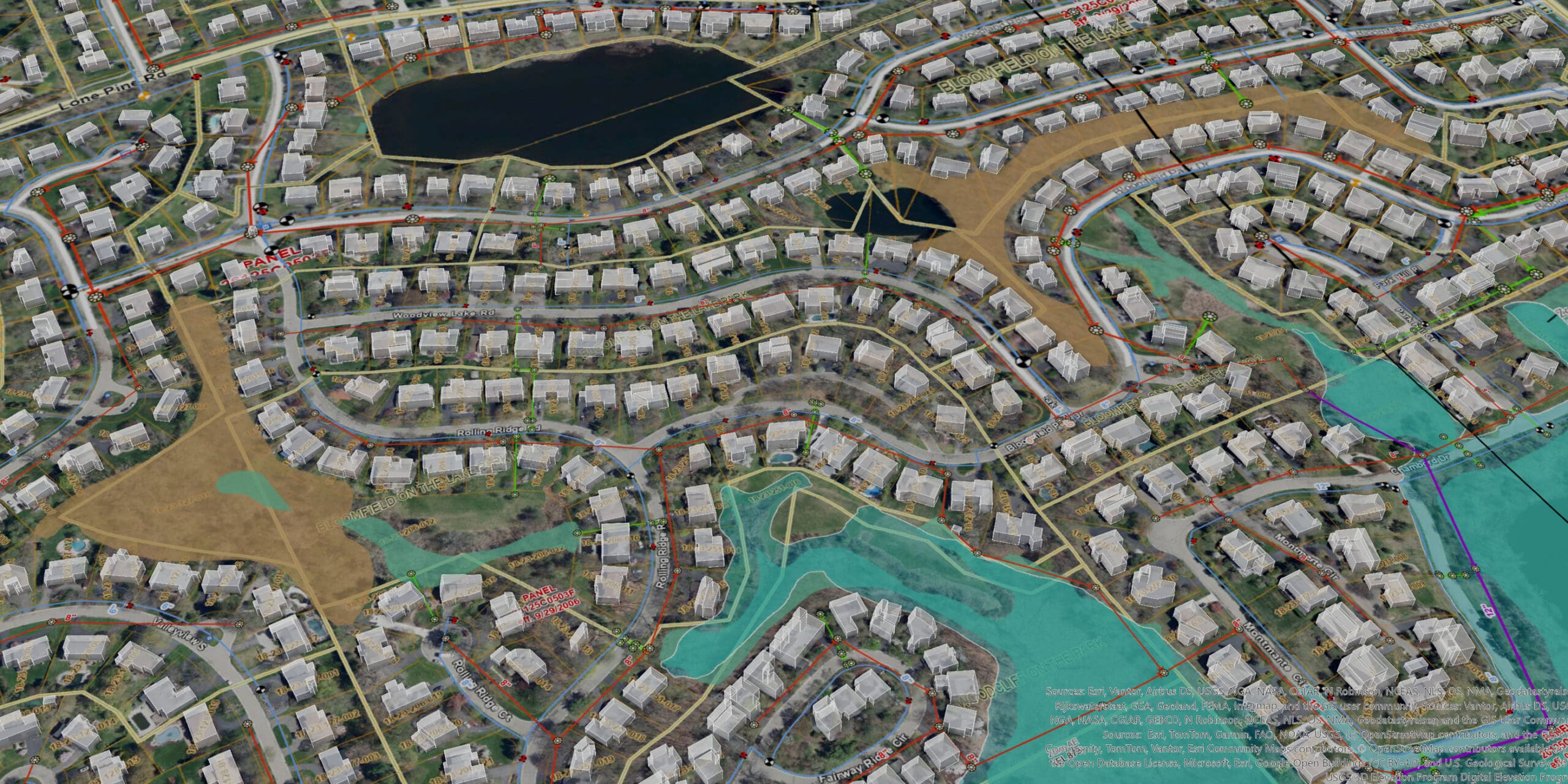
Our GIS capabilities span the full spectrum of what modern spatial technology can do, from data collection and quality assurance to custom integrations, web viewers, and enterprise utility network management. We work with clients across architecture, municipal engineering, transportation, environmental, and water sectors, bringing the flexibility to handle projects of any size or duration, from focused short-term engagements to complex multi-year programs.
And we connect GIS with the systems clients already use. Custom scripting and API integrations link spatial data to asset management platforms and third-party applications, creating workflows that are more efficient, more accurate, and easier to maintain over time. The result is a GIS program that grows with your organization rather than working around it.
GIS support for site selection, contextual design, zoning compliance, and building lifecycle management — integrating spatial data with CAD and BIM for stronger planning, coordination, and project delivery.
Asset management implementation, assessment, and integration services that help utilities and municipalities move from reactive maintenance to data-driven decision-making. These systems are tailored to a client’s needs and workflows, and coupled with training to ensure a successful deployment.
Custom integrations that connect GIS and asset management systems with third-party platforms, automating data flow, eliminating duplicate entry, and giving staff real-time visibility into work status and system performance.
GIS-based environmental monitoring, ecological surveys, and spatial analysis that track contamination trends over time, identify areas for remediation, and support defensible, well-organized environmental data management.
Municipal GIS solutions that serve as a centralized system of record for utilities, infrastructure, and community assets. From data creation and collection to utility network implementation, custom dashboards, and applications, we can assist you with every phase of GIS work.
GIS-based transportation asset management, road condition analysis, traffic data collection, safety studies, and more. We give agencies the spatial insight to prioritize investments and plan improvements with confidence.
Trey
Taliaferro
GIS Specialist
Michigan
Andrew
Murray, GISP
GIS Department Manager
Michigan
Jason
Woodman
Software Developer
Ohio
Our GIS services include spatial data management, utility network support, quality assurance and quality control on data sets, custom map production, web viewer development, and custom integrations with asset management systems and third-party applications. We work across architectural, municipal, transportation, environmental, and water sectors.
Yes. DLZ is an ESRI Bronze Partner, reflecting our commitment to the ESRI platform and our ability to support clients in managing and evolving their GIS systems, including the ESRI utility network.
We work across a wide range of project sizes and durations, from targeted short-term engagements to complex, multi-year programs. Our teams are structured to scale with client needs, providing flexibility regardless of project scope.
Yes. We provide custom scripting and API integrations that connect GIS with asset management platforms and other third-party applications, creating workflows tailored to each client’s specific systems and operational needs.