Hydrographic Surveying
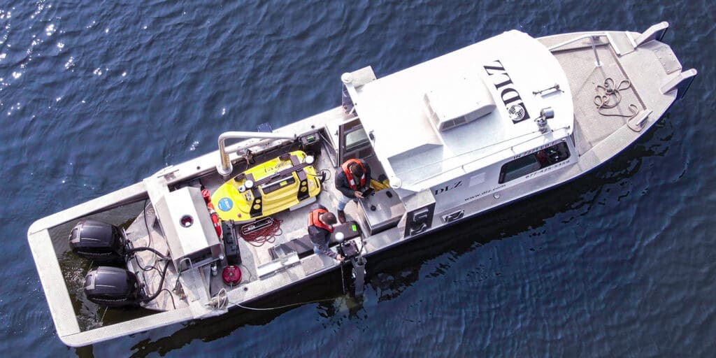
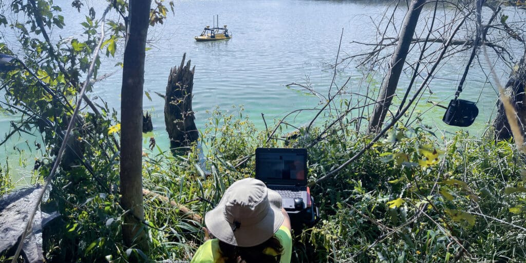
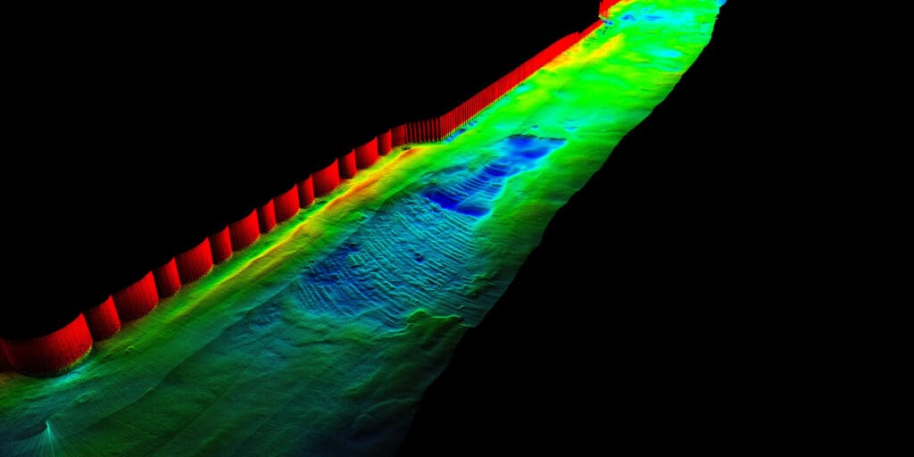
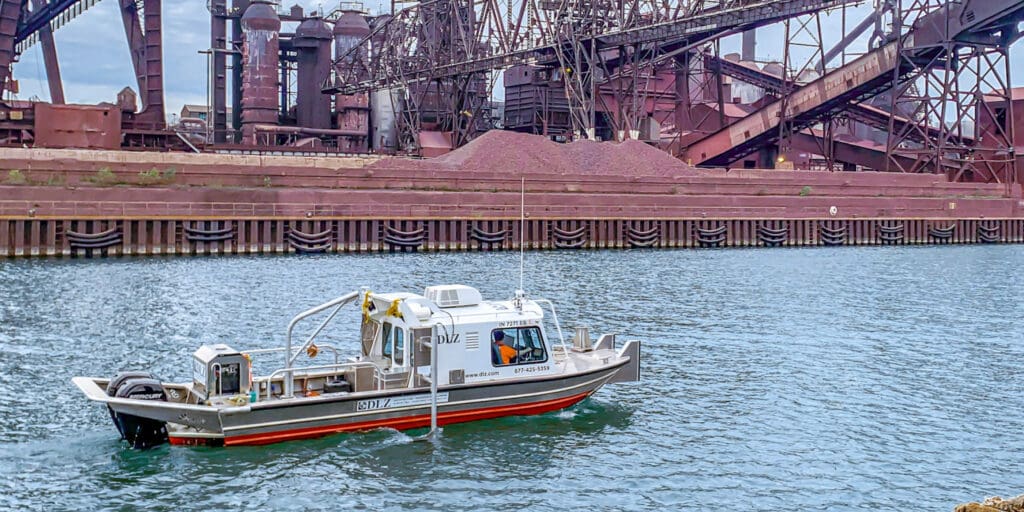
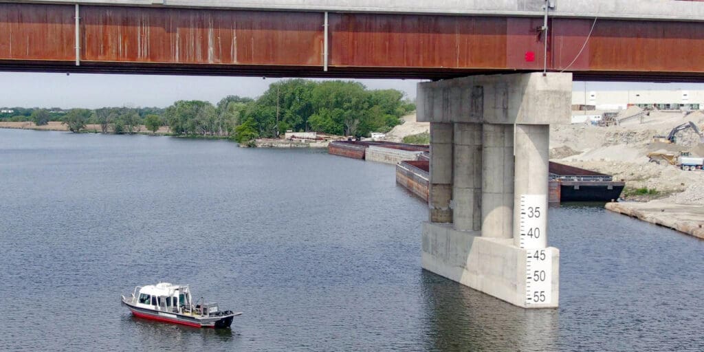
DLZ gives project teams underwater data they can count on. Our hydrographic work is led by an NSPS-THSOA Certified Hydrographer, a credential held by only a few hundred people nationwide. Our team surveys rivers, lakes, reservoirs, and ports throughout the Great Lakes and Midwest, from Lake Michigan to the Ohio River. We collect multibeam and single-beam bathymetry from crewed vessels and remote-controlled survey boats. That lets us cover open water, shallow channels, and tight spaces around piers, intakes, and bridge foundations without changing teams or methods.
What sets our work apart is what happens at the shoreline. DLZ self-performs hydrographic surveying, laser scanning, and UAS mapping, so underwater and upland data are tied to one control network and delivered as one continuous surface.