Home / Survey
Every project depends on accurate, reliable field data. DLZ’s surveying team captures existing conditions across land, facilities, structures, and waterways, then delivers practical, usable information that helps teams make better decisions from planning through completion. We use the most advanced equipment and methods available, because our surveyors understand how engineers, contractors, and owners actually put data to work.
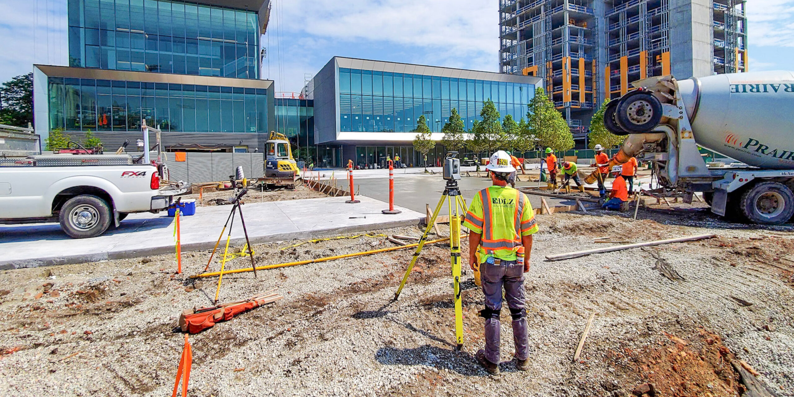
We’ve spent decades delivering surveying services for transportation, infrastructure, industrial, and land development projects. That consistency means fewer surprises in the field, more reliable schedules, and data your whole team can count on. The field data we produce helps clients support planning, design, construction, fabrication, inspection, and long-term asset management.
By combining conventional survey methods with UAS platforms, terrestrial scanners, laser trackers, and hydrographic equipment, DLZ delivers practical, field-to-finish solutions that turn complex site conditions into usable information for engineering, CAD, GIS, and construction workflows. Our surveyors work closely with engineers, contractors, and owners to keep projects coordinated, reduce risk, and move work forward.
Boundary, topographic, and control surveys for transportation, infrastructure, and land development projects. We deliver field-verified data that supports engineering design, regulatory compliance, and asset management.
Control surveys, stakeout, and as-built documentation throughout the construction process — keeping field work coordinated with design intent and project tolerances.
Terrestrial laser scanning that produces detailed 3D point clouds of existing conditions — supporting design, renovation, and documentation where precision and completeness are critical.
Underwater depth, channel conditions, and subsurface feature capture for waterway and water infrastructure projects, providing reliable baselines for dredging, flood modeling, bridge design, and aquatic work.
UAS-based mapping that delivers high-resolution imagery and topographic data for large or difficult-to-access sites — feeding directly into engineering, GIS, and planning workflows.
Laser tracking for alignment verification, deformation measurement, and precision installation — meeting the tight tolerances required for industrial, manufacturing, and specialty construction projects.
Precision laser scanning that reconstructs accurate facility and component geometry — producing CAD and BIM-ready data for renovation, fabrication, retrofit, and facilities management.
During a blast furnace capital improvement project, our client needed a major piece of equipment moved and lifted into place. When the steel mill manager observed the equipment rigged more than 200 feet in the air, he asked, “How do you know this will fit?”
The equipment fit within 1/4 inch in every direction, saving over 8 hours of crane time and manpower.

Don
Williams, Jr., PS
Associate Vice President
Indiana
Andrew
Kincaid, PE
Division Manager
Indiana
Steve
Jones, PS, CFedS
Director of Survey
Indiana
Alex
Marks, PS
Division Manager
Ohio
Kurt
Schmiegel, PE
President, DLZ Industrial LLC
Indiana
DLZ offers a full spectrum of surveying and measurement services — from boundary, topographic, and land title surveys to construction layout, hydrographic surveying, UAS mapping, high-definition laser scanning, precision alignment, and reverse engineering. Whether your project is routine or highly specialized, we have the field resources and licensed professionals to support it from start to finish.
More than 100 years. Our teams have spent decades supporting transportation, infrastructure, industrial, and land development projects across 27 states. That experience means we don’t just collect data — we understand how engineers, contractors, and owners use it, and we deliver it in formats that work for your workflow.
Yes. Our teams regularly support projects where precision is critical — including construction layout and alignment, scan-based modeling and fabrication support, and drone-based LiDAR, photogrammetric, and thermal inspections in industrial environments. We also have two Certified Federal Surveyors (CFedS) on staff for projects that require that credential.
Our toolkit includes UAS and UAV platforms, terrestrial laser scanners, laser trackers, hydrographic equipment — and even an amphibious vehicle for sites where conventional access isn’t possible. But the technology is only part of the story. Our surveyors have the experience to turn complex field data into practical, usable results for engineering, CAD, GIS, and construction workflows.
DLZ performs hydrographic surveying of lakes, rivers, slips, and lagoons. Hydrographic surveying is used for dredging, beach nourishment and protection, navigation, operations and maintenance, and also flood control projects. Utilizing echosounder technology alongside RTK and DGPS survey equipment, we can collect underwater topographic information of the water body and accurately position the data to depict the planimetric features. Our lead hydrographer is one of fewer than 150 Certified Hydrographers in the United States and our team has demonstrated that depth on waterway projects, bridge work, flood modeling, and aquatic infrastructure across the country.
Our surveyors work closely with engineers, contractors, and owners throughout the life of a project — not just at the front end. From initial site capture through construction support and as-built verification, we stay coordinated with the full project team to reduce risk, catch issues early, and keep work moving forward.