High-Definition Scanning

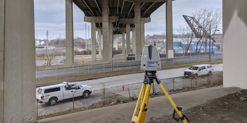
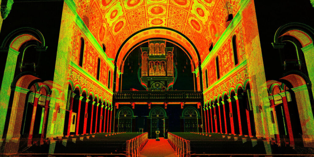
Accurate, complete information about existing conditions is the foundation of confident project planning — and conventional measurement methods don’t always capture the full picture. High-definition laser scanning gives project teams a detailed, data-rich view of structures, equipment, utilities, and site features, including spaces that are difficult to access, heavily congested, or poorly documented. The result is a reliable digital record that supports better decisions from early planning through construction and beyond.

DLZ delivers high-definition scanning services across a wide range of project types, from industrial facilities and process areas to municipal infrastructure and building renovation work. We capture, process, and register scan data into organized, usable point clouds and customize deliverables to fit each client’s workflow — including 2D CAD backgrounds, 3D models, elevations, sections, and extracted dimensions. Our team bridges the gap between raw field data and practical project information that engineers, designers, and contractors can put to work immediately.

Featured Capabilities

Existing Conditions and As-Built Documentation CTA Green Line

Existing Conditions & As-Built Documentation

When drawings are outdated, incomplete, or unavailable, laser scanning provides an accurate digital record of what’s actually there. DLZ captures existing structures, equipment, utilities, and site features with a high level of detail, giving project teams a reliable foundation for renovation, expansion, maintenance, and future capital planning.

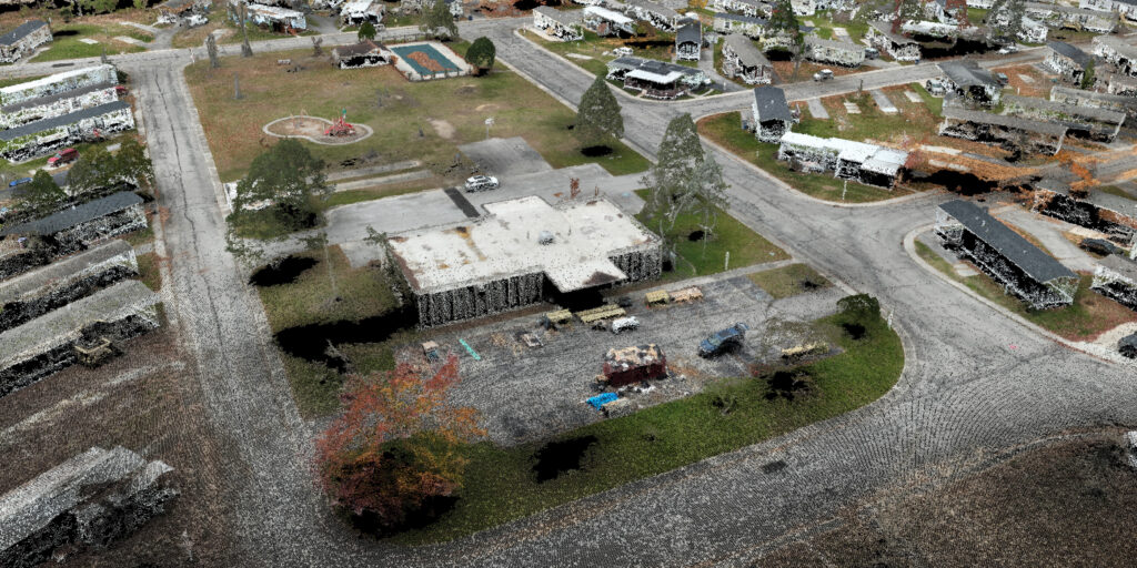
Point Cloud Registration and Deliverable Development Byrne Trailer Park Cloud

Point Cloud Registration & Deliverable Development

Raw scan data is only useful when it’s properly processed and formatted for the work at hand. DLZ registers and organizes scan data into clean, usable point clouds and develops customized deliverables including 2D CAD backgrounds, 3D models, elevations, sections, and extracted dimensions — converting field data into practical project information for engineers, designers, and contractors.

Industrial Facility & Process Area Scanning

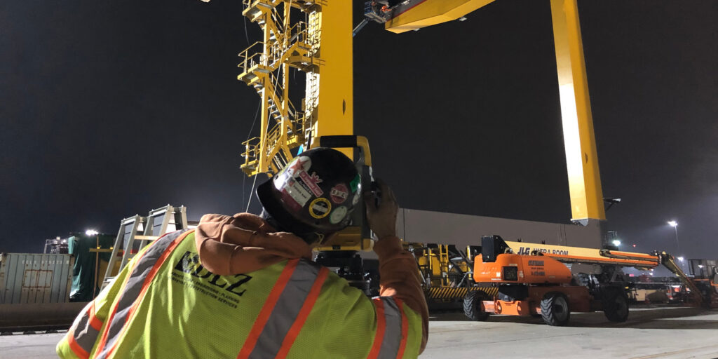
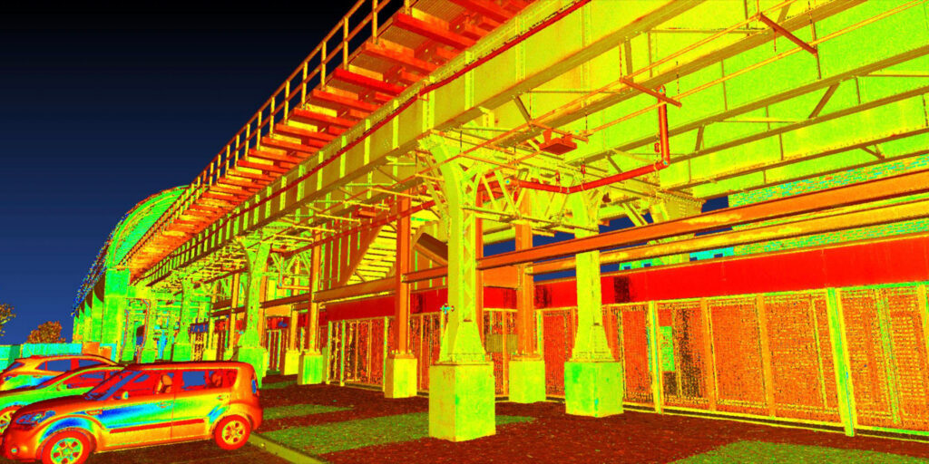
Complex industrial environments — manufacturing plants, steel facilities, utility sites, and process areas — present documentation challenges that conventional measurement simply can’t meet. DLZ scans dense piping, equipment, structural steel, and tight-access conditions with the completeness and precision needed to plan modifications, equipment replacements, tie-ins, and shutdown work with confidence.

Retrofit, Renovation & Design Support

Accurate existing-conditions data reduces the assumptions that lead to fit-up problems, rework, and design conflicts. DLZ uses laser scanning to provide a dependable base for retrofit, rehabilitation, and renovation design, giving all project disciplines access to the same real-world reference data and improving coordination throughout the project lifecycle.

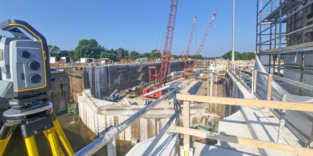
Construction Verification and Progress Documentation Dresden Lock and Dam

Construction Verification & Progress Documentation

Laser scanning during construction helps teams verify installed conditions, document progress, and compare field conditions to design intent. DLZ provides periodic scanning that supports quality control, informs decision-making, and creates a documented record of project milestones for owner reference and closeout.

Inaccessible Area Data Capture

Some of the most important data is the hardest to collect safely. DLZ uses laser scanning to capture detailed information from hazardous, elevated, congested, or operationally sensitive areas without requiring personnel to physically access them — improving field safety while still delivering the complete, accurate data needed for planning and analysis.

Related Work

Get in touch with
some of our high-definition scanning experts.