Municipal

Local governments are expected to manage more infrastructure with fewer resources. And that’s nearly impossible when asset data is scattered, outdated, or inconsistent. GIS changes the equation by bringing water systems, roads, buildings, parks, fleet, and more into a single, reliable system of record that supports faster decisions, better service, and a clearer picture of what needs attention and when.

DLZ delivers municipal GIS solutions scaled to each community’s needs, from desktop ArcGIS Pro environments to ArcGIS Online and ArcGIS Enterprise deployments. Whether the goal is migrating to a utility network, building custom dashboards and field applications, or improving data quality across existing systems, our teams bring the flexibility and responsiveness that municipal work requires — and the training to make sure staff can use what we build.

Featured Capabilities

GIS asset management dashboard development

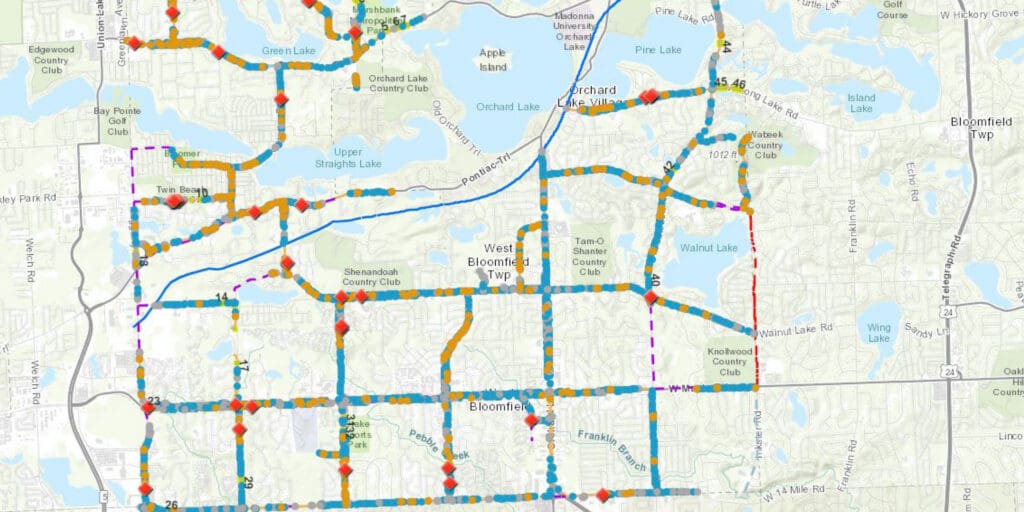
Utility Network Migration & Implementation

Migrating to an ESRI utility network is a significant step toward more intelligent, connected infrastructure management. We guide municipalities through the full migration process, preserving existing data while configuring the network to support planning, analysis, and operational workflows that deliver lasting value across water, wastewater, and other utility systems.

GIS dataset

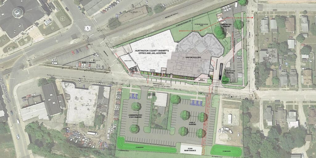
GIS Dataset Development

A GIS program is only as useful as the data behind it. We build and maintain spatial datasets across the full range of municipal asset types — water and wastewater infrastructure, roads, buildings, parks, cemeteries, fleet, and trees — ensuring records are accurate, consistently structured, and ready to support day-to-day operations and long-term planning.

GIS municipal custom applications

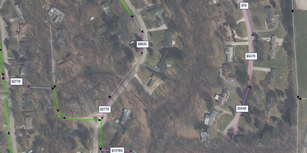
Custom Applications & Dashboards

Municipal staff need tools that fit their workflows, not the other way around. We design custom dashboards and field collection applications that support project tracking, operational monitoring, and analysis, with integration capabilities that connect GIS data to asset management software and other enterprise systems.

GIS CAD

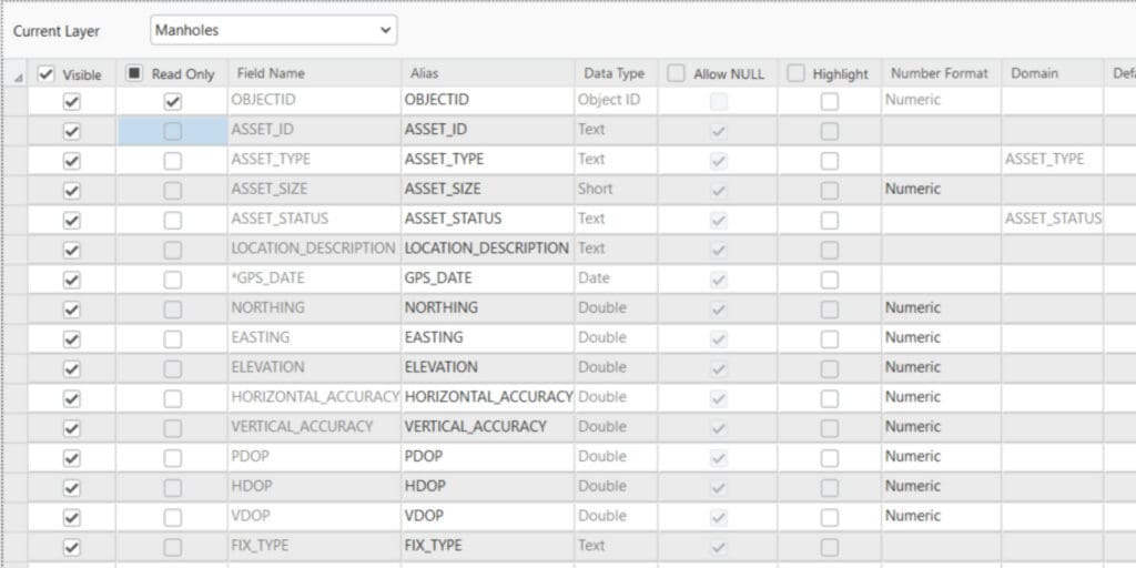
Data Quality Assurance & QA/QC

Reliable decisions start with reliable data. Our QA/QC services review existing GIS datasets for accuracy and consistency, standardize attribute structures, and flag areas that need further review or correction — giving municipalities a cleaner, more trustworthy foundation for every workflow that depends on spatial data.

GIS asset management custom scripting

Training & Workflow Support

Technology only delivers value when people know how to use it. We provide hands-on training tailored to each municipality’s specific GIS environment and workflows, helping staff build confidence and competence across the tools, processes, and data management practices that keep a GIS program running effectively over time.

Related Work

Portage DPW Masterplan

Portage

, Michigan

GIS Mapping for Monongalia County (WV) Broadband Study Strategic Plan

Morgantown

, West Virginia

GIS and Water Distribution System Hydraulic Model, Royal Oak

Royal Oak

, Michigan

Trey

Taliaferro

GIS Specialist

Michigan

Andrew

Murray, GISP

GIS Department Manager

Michigan

Get in touch with
some of our GIS Municipal experts.