
Overview
The United States Congress, through the Intermodal Surface Transportation Efficiency Act of 1991, established Corridor 18 as a high-priority transportation corridor. The corridor, which was modified by Congress in 1998 through the Transportation Equity Act for the 21st Century, was proposed to become a highway of national significance extending from the Michigan/Canada border to the Texas/Mexico border. I-69 had been designated as the route for this highway.
Process
A Tier 1 study was completed by the Indiana Department of Transportation (INDOT) to select a corridor for the extension of I-69 from I-465 in Indianapolis to I-64 in Evansville. The Tier 1 study consisted of a Tier 1 Draft Environmental Impact Statement (EIS), a Tier 1 Final EIS, and various supporting regulatory compliance documents and technical studies. The Record of Decision for the Tier 1 study was issued by FHWA on March 24, 2004.
DLZ’s contract with the Indiana Department of Transportation was to provide the necessary services for the I-69 Tier 2 Environmental Impact Study (EIS), including environmental and engineering assessment studies along Section 4 of Corridor 3C between Evansville and Indianapolis. This Project was performed to determine a specific highway alignment within Section 4 and to complete the National Environmental Policy Act (NEPA) compliance requirements.
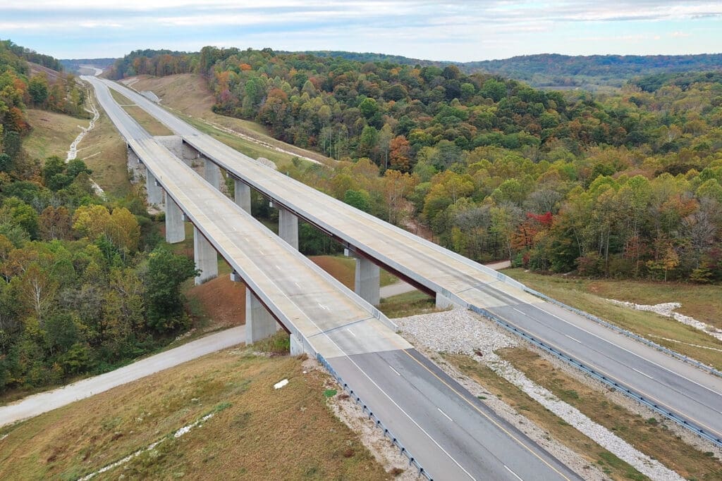
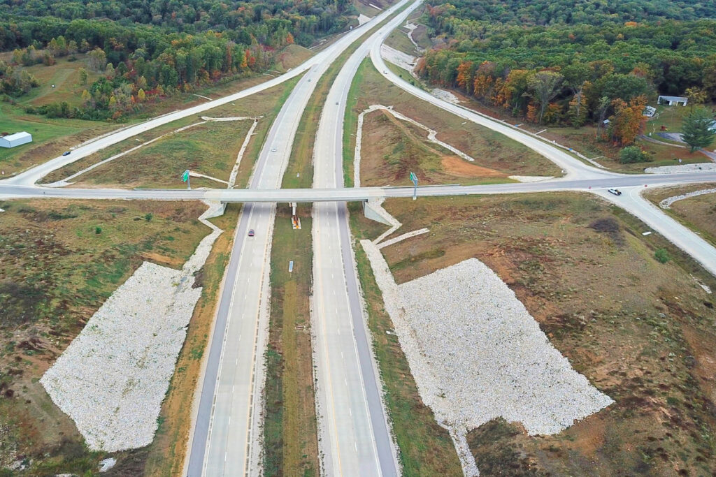
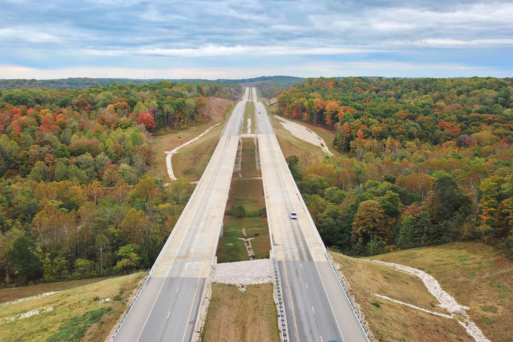
Section 4 is a 26-mile long new terrain corridor that connects the southwest side of Bloomington, Indiana with US-231 at the northwest corner of Crane Naval Surface Warfare Center in Greene County, Indiana.
A primary project goal was to minimize project costs and impacts while at the same time providing a safe highway design. DLZ’s detailed safety and truck speed analyses resulted in a design that included opportunities for design modifications. DLZ staff performed detailed field studies and technical analyses for Indiana Bat, karst geology, cultural resources, forests, farmland, community effects, Section 106, Section 4(f), wetlands, and floodplains.
In addition to the technical studies, DLZ also coordinated a large public involvement campaign for this project including various outreach meetings, setting up and hosting Community Advisory Committees (CACs), preparing Project newsletters and informational brochures, and a project website.
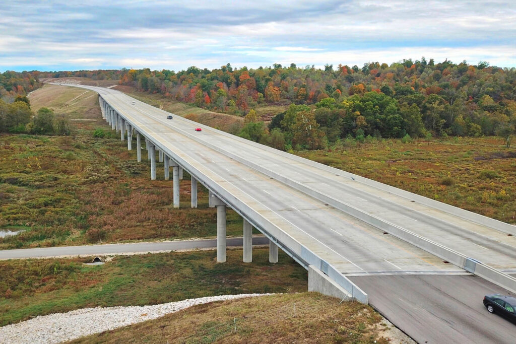
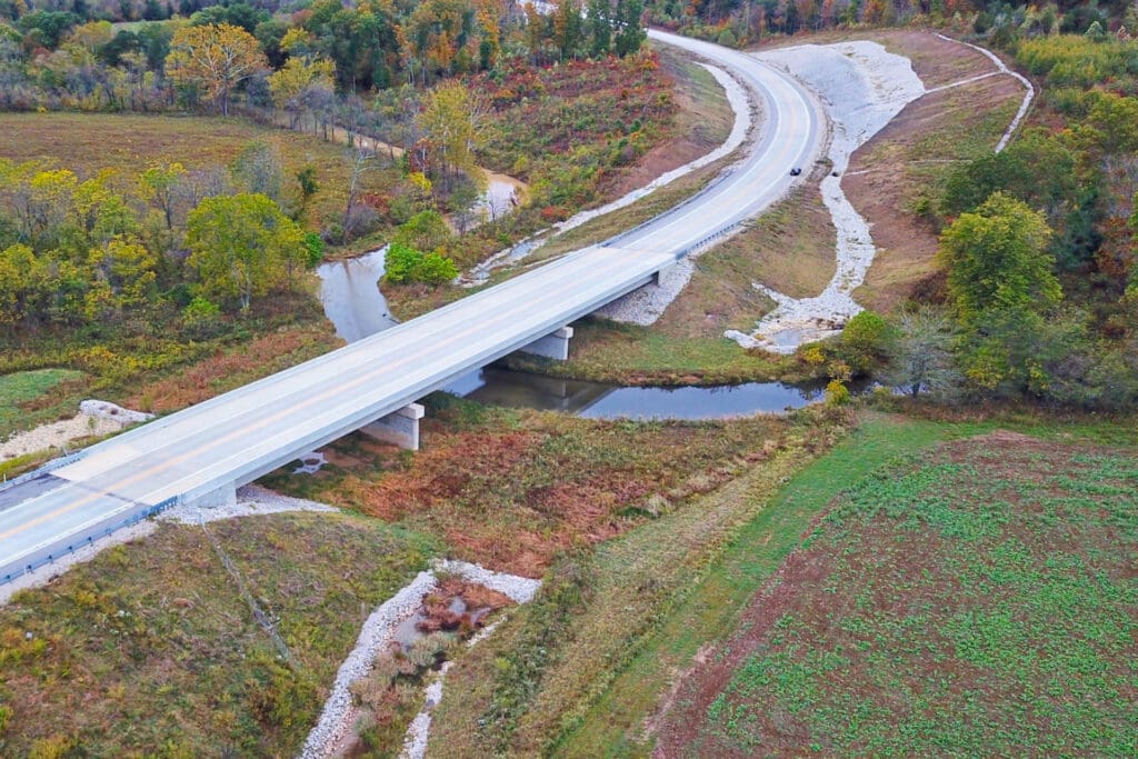
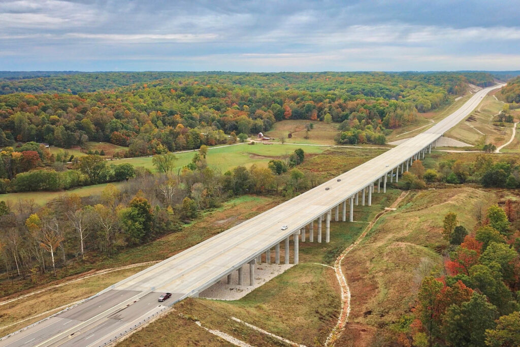
DLZ staff also performed the highway traffic noise assessment using the FHWA Traffic Noise Model (TNM), Version 2.5, as well as a carbon monoxide hot spot analysis, along the 26 mile length of the Section 4 corridor.
Tasks included the following:
Ambient noise readings at representative locations
Development of the TNM model for the existing and future no-build conditions and for the four proposed build scenarios utilizing both the initial design criteria and the low-cost design criteria to determine predicted noise levels at over 400 receiver locations
Evaluated predicted noise levels and performed abatement analysis for the impacted receivers associated with all four (4) proposed build alternatives using both the initial and low-cost design criteria
Developed the TNM model for the refined preferred alternative that was carried forward and generated predicted noise levels for the receivers within 800 feet of the preferred alignment using both the initial and low-cost design criteria
Performed abatement analysis for 32 barrier locations using both the initial and the low-cost design criteria
Preparation of a Highway Traffic Noise Technical Report and the technical chapters documenting the noise analysis for inclusion in the EIS
Awards
2012 ACEC Indiana Engineering Excellence
Honor Award