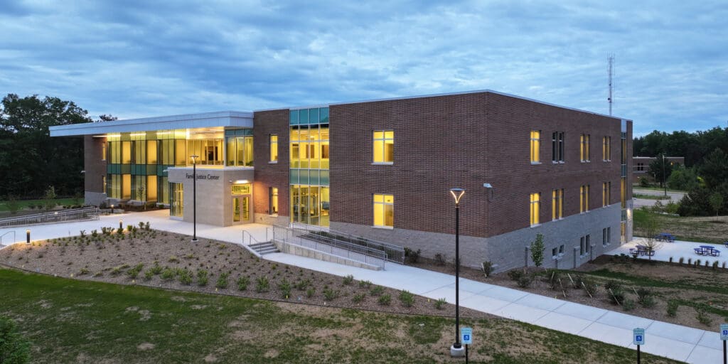
Architectural Building

Good building and site decisions depend on understanding the full context of a location before design begins. GIS brings that context into focus, layering existing infrastructure, land use, zoning, and regulatory data into a spatial framework that informs smarter, faster decisions at every stage of architectural planning and development.

From initial site selection through construction management and long-term building maintenance, DLZ’s GIS services support the full architectural project lifecycle. Integration with CAD and BIM platforms keeps spatial data connected to design workflows, while digital twin capabilities and 3D visualization give project teams and stakeholders a more complete picture of what’s being planned and why.

Featured Capabilities

GIS Site Selection

Site Selection & Development Support

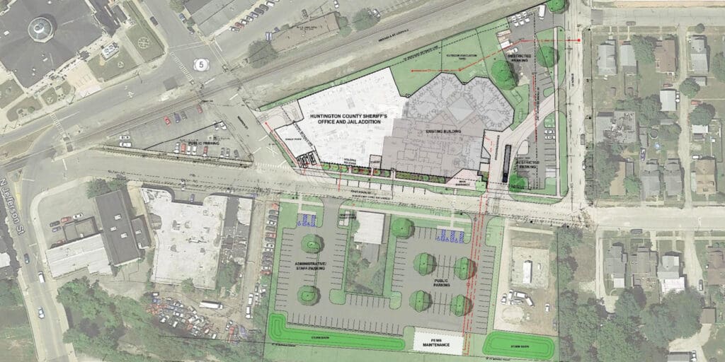
Choosing the right site requires more than a map. We use GIS to evaluate potential locations against existing infrastructure, utilities, environmental constraints, zoning, and regulatory requirements — bringing together the spatial layers that reveal potential issues before they become costly problems during design or construction.

GIS Zoning

Zoning & Regulatory Compliance

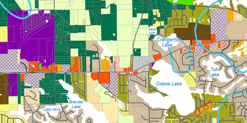
Navigating zoning and regulatory requirements is faster and more accurate with GIS. We integrate existing regulatory layers into the planning process, helping project teams visualize compliance constraints, identify potential conflicts early, and develop solutions that align with local requirements.

GIS 3D

Digital Twins & 3D Visualization

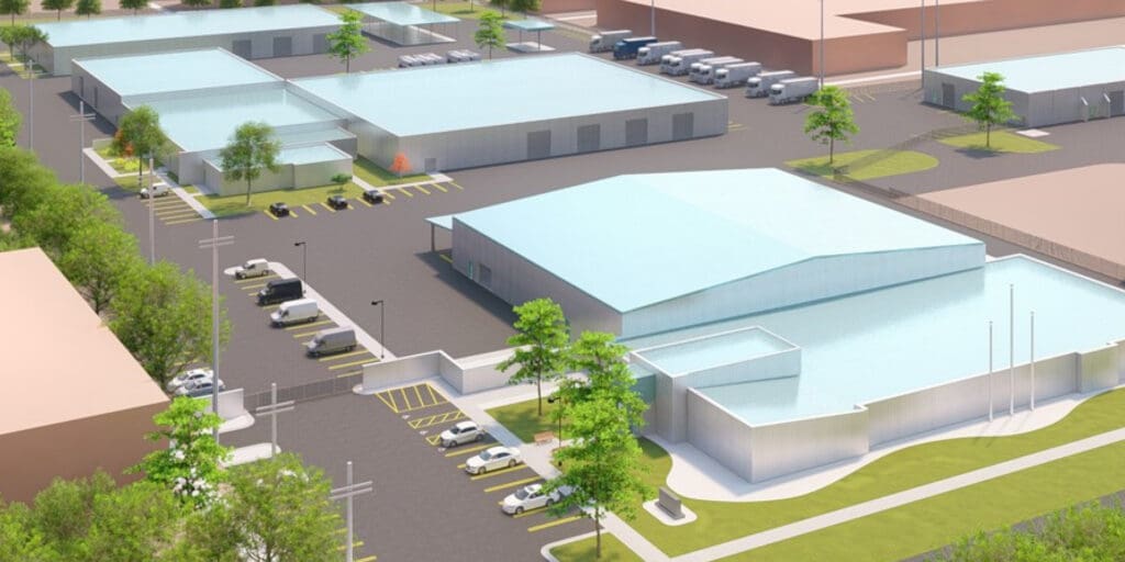
Spatial data becomes more powerful when it can be seen in three dimensions. We develop digital twins and 3D visualizations that give architects, planners, and owners a realistic, data-driven view of proposed projects within their actual physical context — supporting better communication, stronger coordination, and more informed decision-making.

GIS CAD

CAD & BIM Integration

GIS and design platforms work best when they work together. We integrate spatial data with CAD and BIM workflows, enabling seamless information exchange between disciplines and ensuring that location intelligence is embedded in the design process from the start.

GIS Building Planning

Building Planning, Maintenance & Upgrades

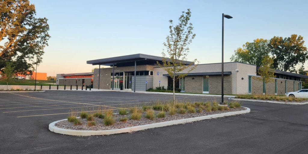
GIS supports buildings long after construction is complete. By integrating spatial data with asset management systems, we help facility managers plan maintenance, track building components, and coordinate upgrades with the accuracy and efficiency that long-term facility performance requires.

GIS Arch Building Project Management Coordination

Project Management Coordination

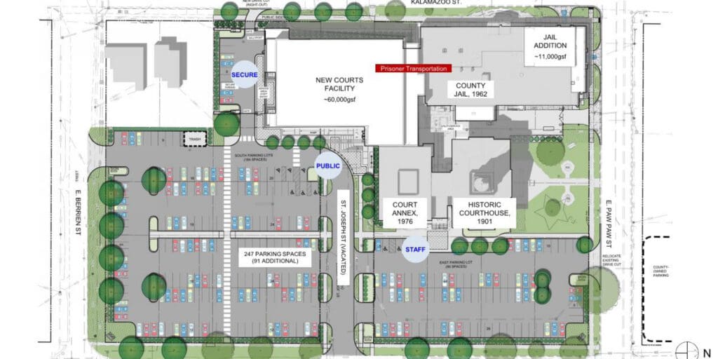
Construction and renovation projects benefit from spatial visibility. We use GIS to support project management during active construction and renovation, helping teams track progress, coordinate across disciplines, and surface issues before they affect schedule or budget.

Related Work

Portage DPW Masterplan

Portage

, Michigan

DDOT Coolidge Operations & Maintenance Facility

Detroit

, Michigan

West Bloomfield Township Department of Public Works and Water Billing Department

West Bloomfield

, Michigan

Trey

Taliaferro

GIS Specialist

Michigan

Andrew

Murray, GISP

GIS Department Manager

Michigan

Get in touch with
some of our GIS experts.