Aerial Mapping (Unmanned Aircraft System)
Large, complex, or difficult-to-access project areas present real challenges for conventional survey methods. Coverage takes longer, costs more, and puts field crews in demanding conditions. UAS-based aerial mapping gives project teams a faster, safer path to accurate topographic and terrain data across wide project extents, without sacrificing the detail and reliability that engineering, planning, and design work requires. The result is usable site information earlier in the project lifecycle, when it has the most value.
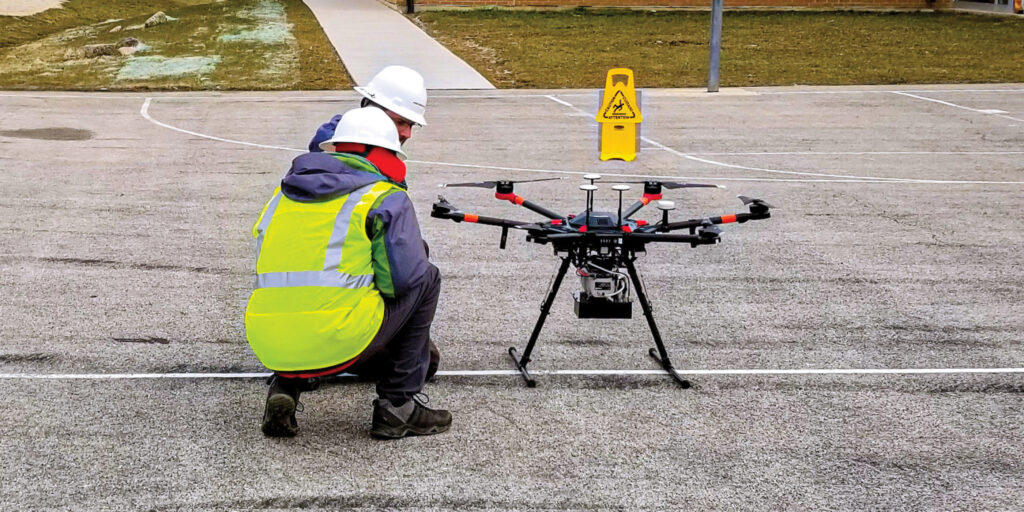
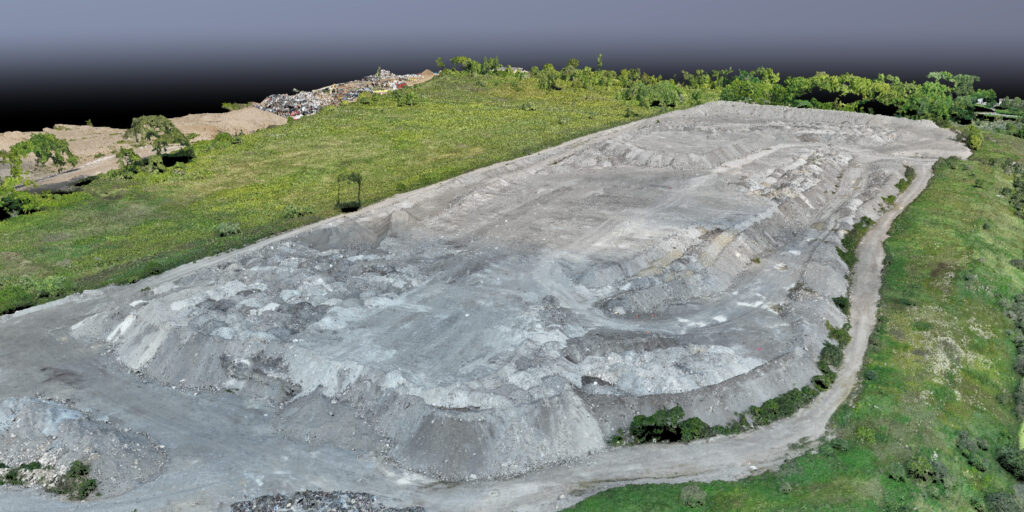
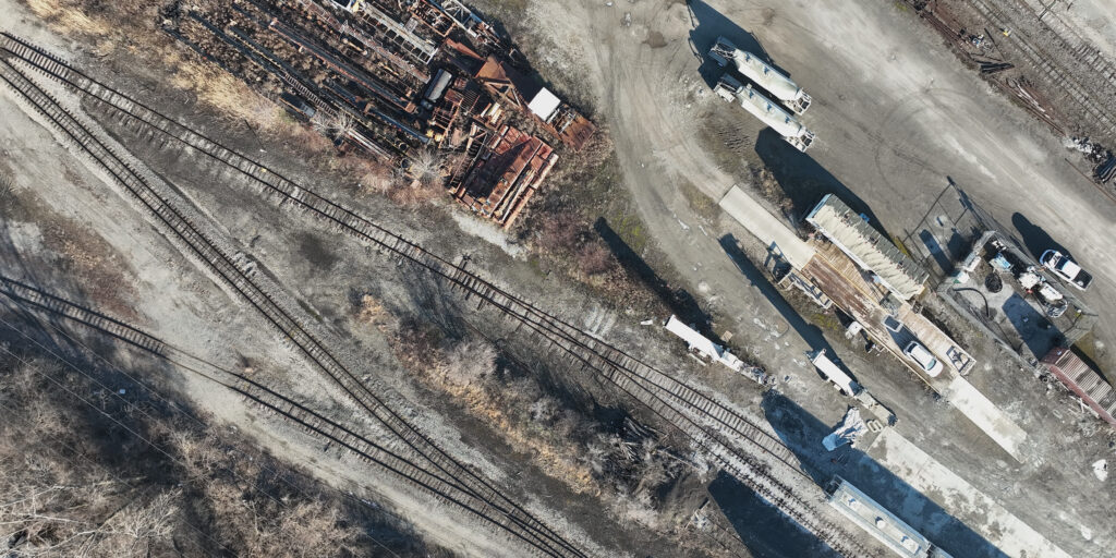
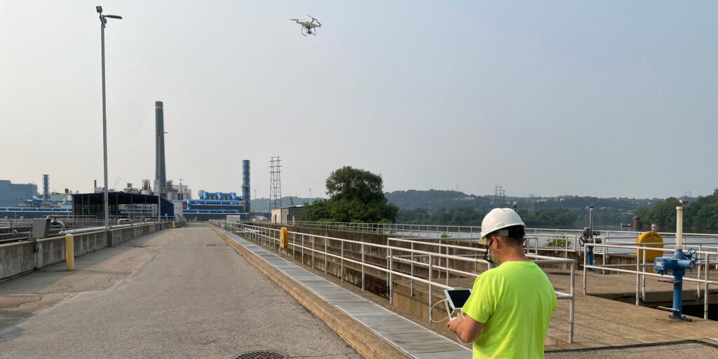
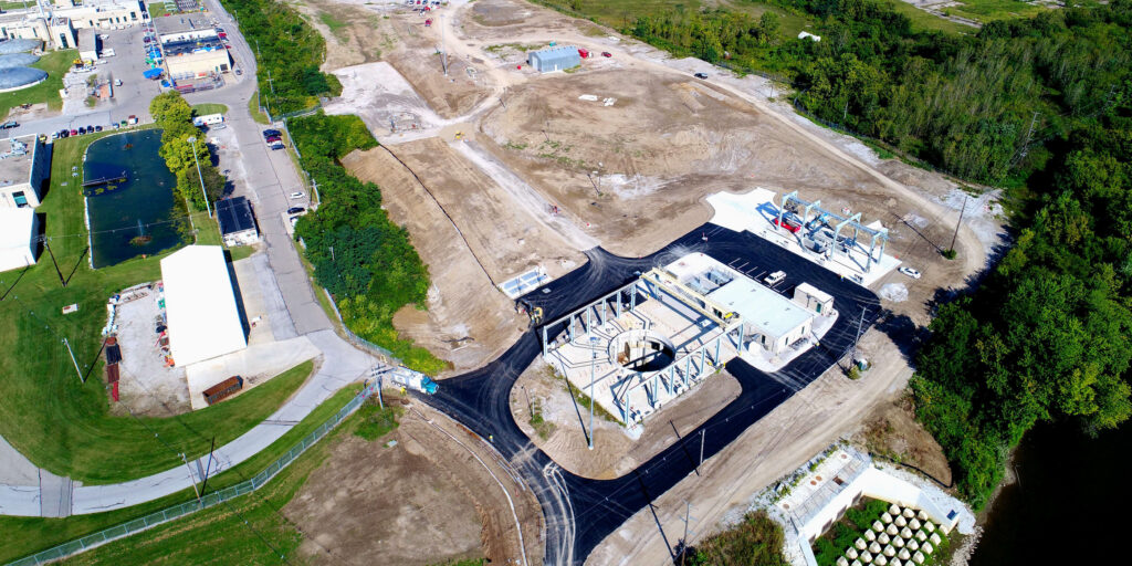
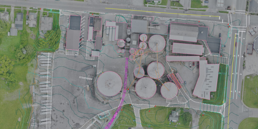
DLZ’s aerial mapping teams use UAS LiDAR and photogrammetric technology to capture existing conditions, develop terrain models, and produce a range of geospatial deliverables tailored to project needs — including digital terrain models, contour mapping, orthophotos, and surface models. From linear infrastructure corridors to industrial campuses and active construction sites, we match the right approach to each project and deliver data that feeds directly into engineering, GIS, and construction workflows. Repeated flights also support progress monitoring and change detection throughout the construction phase.